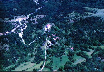
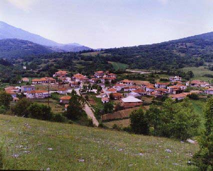
| Altitude: | 560 meters |
| Longitude: | 23o 52' 08.14" E |
| Latitude: | 41o 20' 33.17" N |

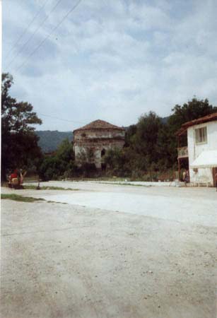
| Type of location: | Town hall, Municipal district |
| Other Names: | ZYRNOVO (Previous) |
| Postal Code: | 66033 |
| Year | Population |
|---|---|
| 1991 | 2158 |
| 1981 | 2370 |

Civitel Creta Beach has announced the grand opening of Onirókipos, an à la carte restaurant designed to enhance the dining experience for both guests and visitors....
Fri, 26 Jul 2024
Read more...
There is no excerpt because this is a protected post....
Fri, 26 Jul 2024
Read more...
Demand for Airbnb-style accommodation rentals in Greece increased by 22% in June, surpassing the European average, according to AirDNA....
Thu, 25 Jul 2024
Read more...
From April to June, Greece received top online ratings from foreign tourists, surpassing the European average....
Thu, 25 Jul 2024
Read more...
Residents of Greece in 2023 went on more trips and spent more money, according to data released by the Hellenic Statistical Authority....
Thu, 25 Jul 2024
Read more...
The Region of Attica has approved up to 48 million euros to enhance its cultural offerings and attract visitors seeking unique tourism experiences....
Thu, 25 Jul 2024
Read more...
Receive our daily Newsletter with all the latest updates on the Greek Travel industry.
Subscribe now!