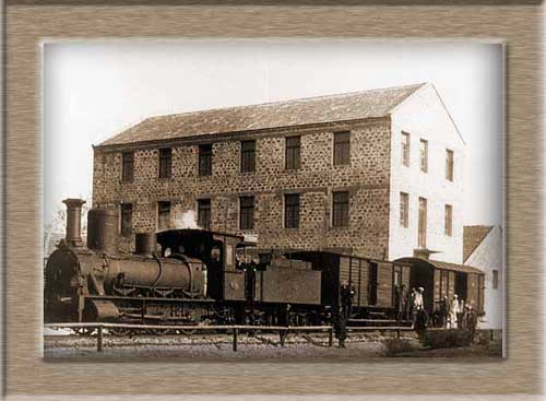
Photo gallery
Displaying 10 out of 11 total photos found for ALEXANDROUPOLI.
Map & Distances
Show/Hide Map
Located in the same area of:
Located at the seaside of:
Distances:
840 Kilometers Southwest (SW) the capital of the country:
ATHENS
Town,
ATTIKI
,
GREECE
300 Kilometers East (E) from the port:
ISTANBUL
Town,
TURKEY
6 Kilometers East (E) the municipality seat
ALEXANDROUPOLIS
Airport,
ALEXANDROUPOLI
,
GREECE
121 Kilometers West (W) the municipality seat
XANTHI
Town,
MAKEDONIA EAST & THRACE
,
GREECE
59 Kilometers Northwest (NW) the municipality seat
KOMOTINI
Town,
RODOPI
,
GREECE
352 Kilometers West (W) the municipality seat
THESSALONIKI
Town,
MAKEDONIA CENTRAL
,
GREECE
248 Nautical miles Southwest (SW) from the port:
PIRAEUS
Port,
ATTIKI
,
GREECE
328 Nautical miles South-southeast (SSE) the capital of the island
RHODES
Town,
DODEKANISSOS
,
GREECE
Altitude: 11 meters
Longitude: 25o 52' 40.14" E
Latitude: 40o 50' 34.12" N
Hotels, local businesses, destinations & directions
21
Related Destinations
View
26
Hotels & Accommodation
View
93
Businesses & organizations
View all
Domestic sea schedules
as origin
as destination
FIND ROUTES
Local information
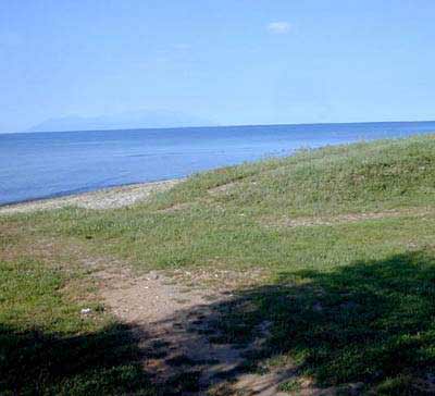
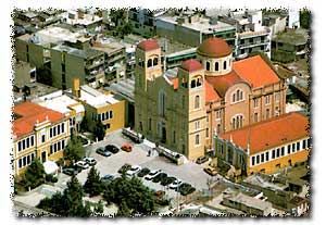
Type of location: Port, Beach, Town hall, Prefecture capital, Province capital, Cathedral house, Blue Flag 2006, Blue Flag 2007, Blue Flag 2008, Blue Flag 2009, Blue Flag 2011, Blue Flag 2012, Blue Flag 2013, Blue Flag 2014, Blue Flag 2015, Blue Flag 2016, Blue Flag 2017, Blue Flag 2018, Blue Flag 2019
Other Names: DEDE-AGATS (Previous)
Postal Code: 68100
Residents
Year
Population
1991
36994
1981
35799
References & Citations
Choose one from the list below or click here to see them all (52)
If you want to find additional information on the greater and/or surrounding areas select one of the titles below and click "more"