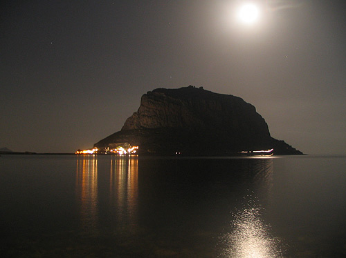
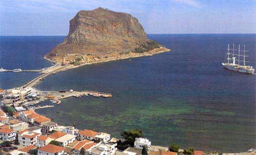
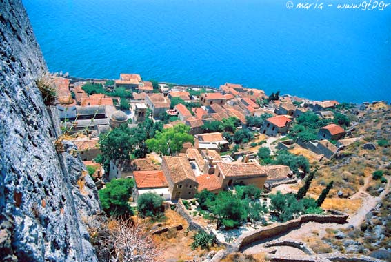
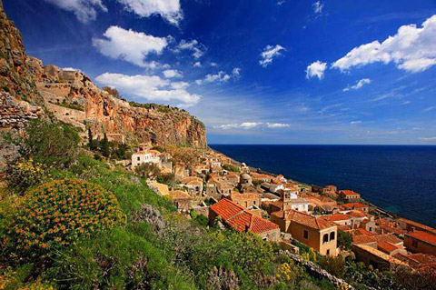
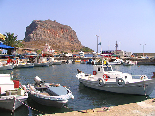
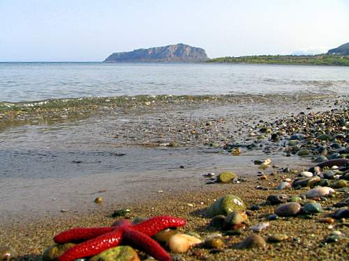
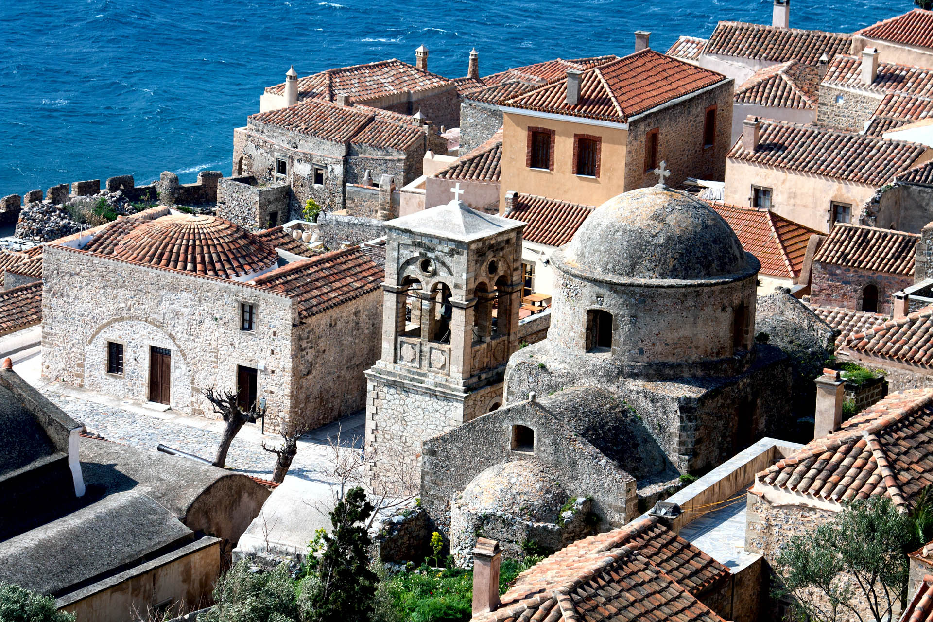
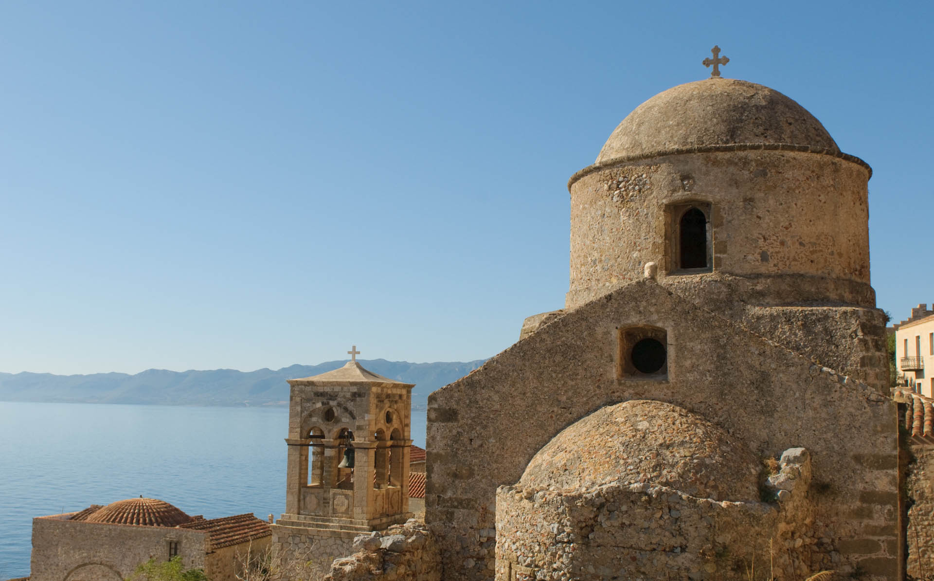
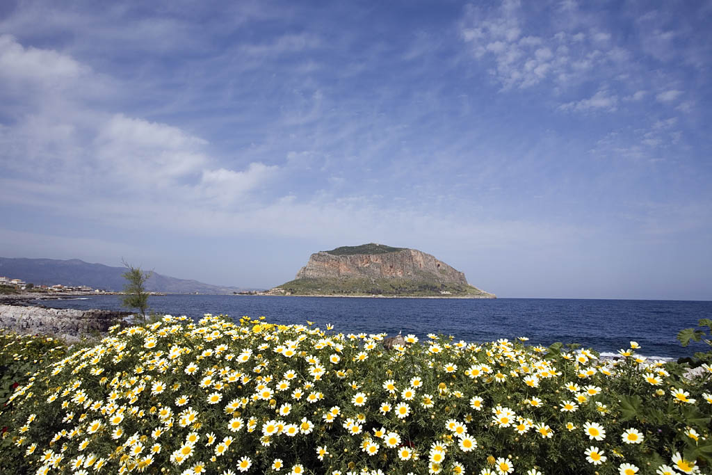
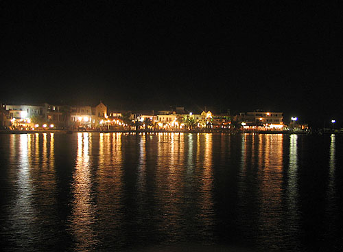
Photo gallery
Displaying 10 out of 11 total photos found for LACONIA.
Map & Distances
The town hall located in:
Is washed (by):
Borders:
Ancient sites within the Municipality:
| Longitude: |
22o 59' 16.99" E |
| Latitude: |
36o 41' 24.36" N |
Hotels, local businesses, destinations & directions

34
Related Destinations
View

57
Hotels & Accommodation
View

76
Businesses & organizations
View all

Domestic sea schedules
Local information
| Type of location: |
Beaches under Ministry of Environment Inspection, Wetland |
Residents
| Year |
Population |
| 1991 |
3950 |
References & Citations
Choose one from the list below or click here to see them all (3)

If you want to find additional information on the greater and/or surrounding areas select one of the titles below and click "more"