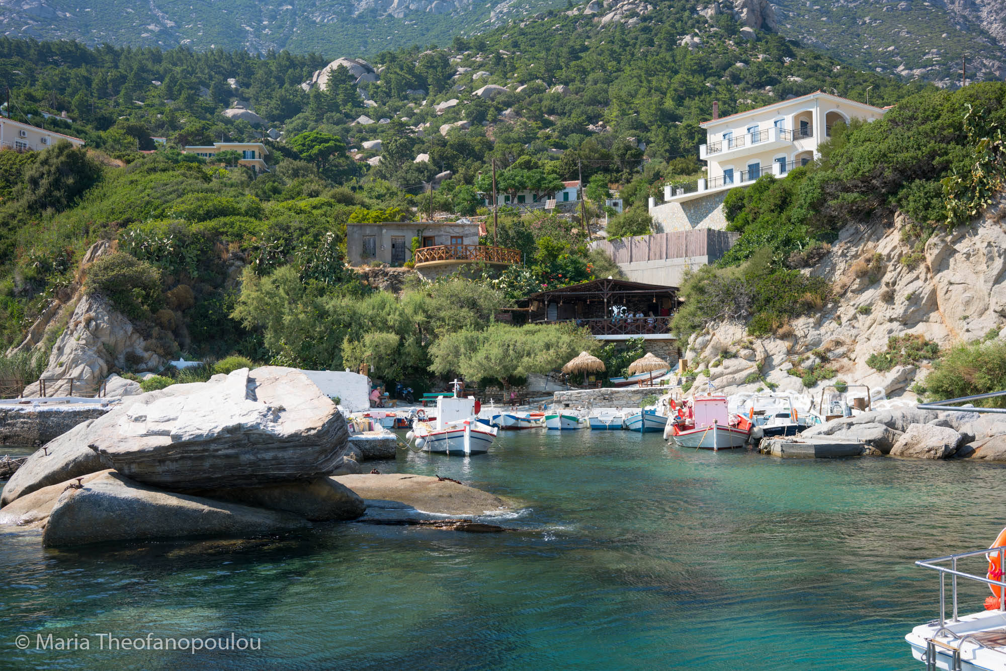
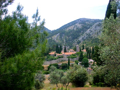
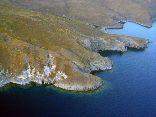
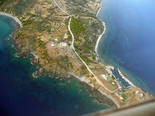
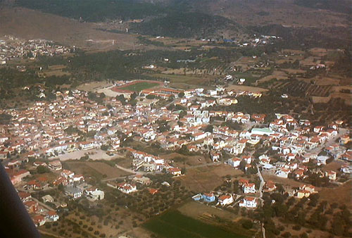
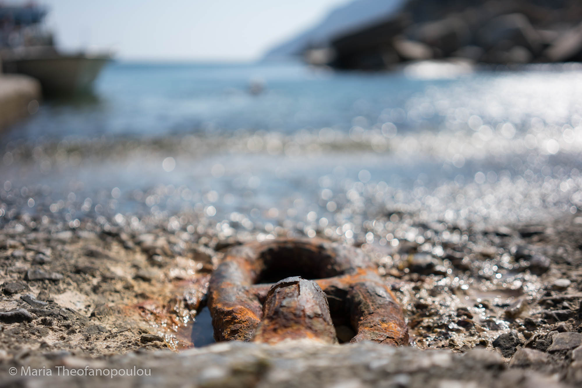
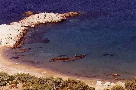
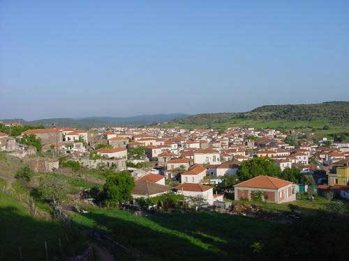
Photo gallery
Displaying 10 out of 320 total photos found for NORTH AEGEAN.
Map & Distances
Located at/in/on:
Within the boundaries are included:
IKARIAN SEA
Open sea (pelagos),
GREECE
THRACIAN SEA
Open sea (pelagos),
GREECE
IKARIA
Island,
NORTH AEGEAN
,
GREECE
FOURNI
Island,
NORTH AEGEAN
,
GREECE
SAMOS
Island,
NORTH AEGEAN
,
GREECE
LESVOS
Island,
NORTH AEGEAN
,
GREECE
AGIOS EFSTRATIOS
Island,
NORTH AEGEAN
,
GREECE
PSARA
Island,
NORTH AEGEAN
,
GREECE
OINOUSSES
Island,
NORTH AEGEAN
,
GREECE
LEMNOS (LIMNOS)
Island,
NORTH AEGEAN
,
GREECE
CHIOS
Island,
NORTH AEGEAN
,
GREECE
| Longitude: |
25o 41' 04.62" E |
| Latitude: |
38o 45' 42.57" N |
| Area: |
3836 km2 |
Hotels, local businesses, destinations & directions

863
Related Destinations
View

813
Hotels & Accommodation
View

1731
Businesses & organizations
View all

Domestic sea schedules
Local information
Residents
| Year |
Population |
| 1991 |
199231 |
References & Citations
Choose one from the list below or click here to see them all (2)

If you want to find additional information on the greater and/or surrounding areas select one of the titles below and click "more"