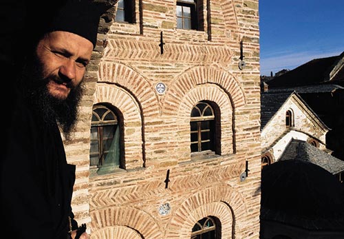
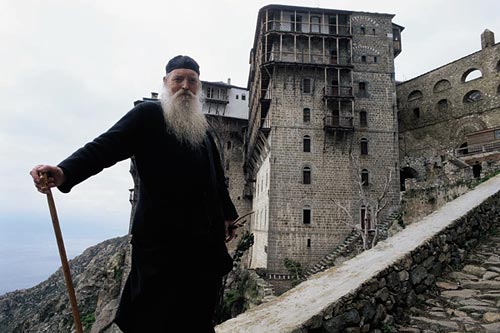
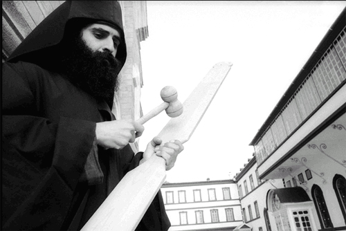
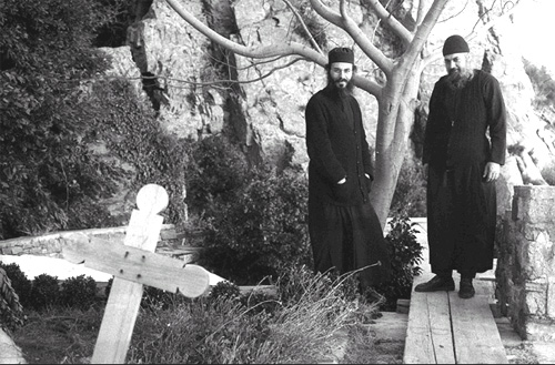
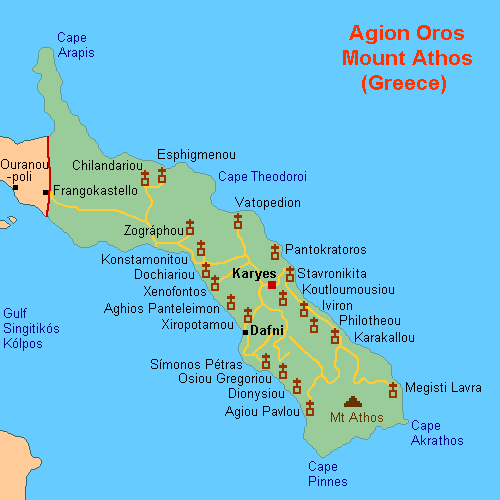
An Orthodox spiritual centre since 1054, Mount Athos has enjoyed an autonomous statute since Byzantine times. The 'Holy Mountain', which is forbidden to women and children, is also a recognized artistic site. The layout of the monasteries (about 20 of which are presently inhabited by some 1,400 monks) had an influence as far afield as Russia, and its school of painting influenced the history of Orthodox art.
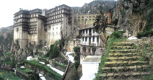
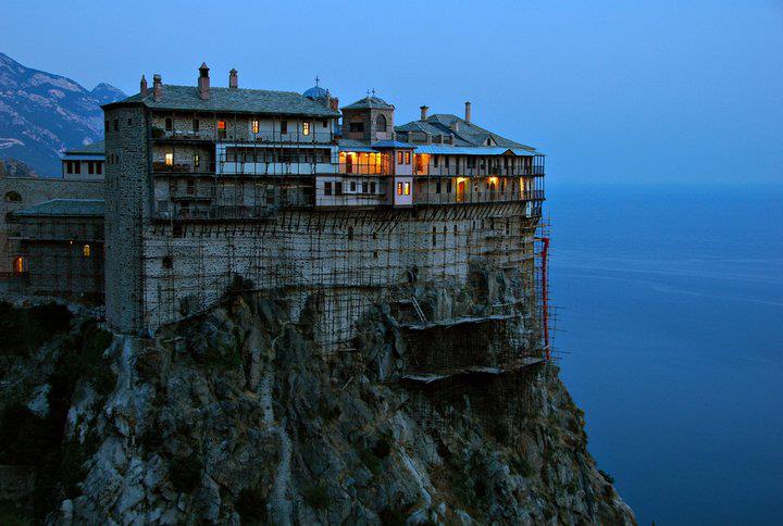
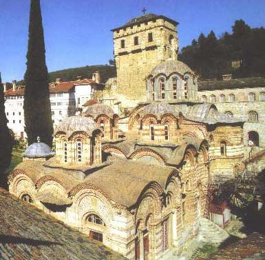
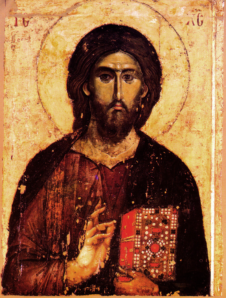
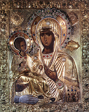
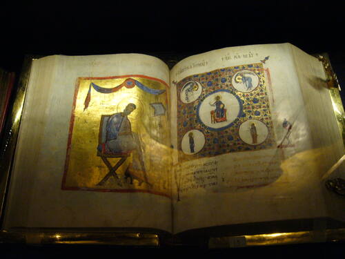
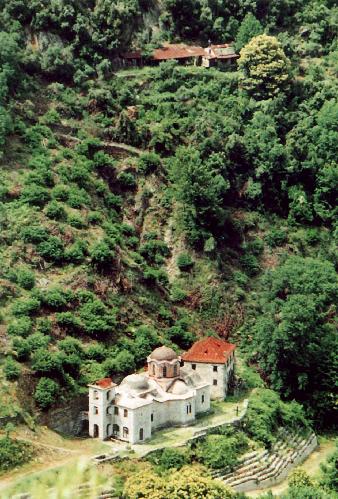
The transformation of a mountain into a sacred place made Mount Athos a unique artistic creation combining the natural beauty of the site with the expanded forms of architectural creation. Moreover, the monasteries of Athos are a veritable conservatory of masterpieces, ranging from wall paintings to portable icons, gold objects, embroideries, or illuminated manuscripts, which each monastery jealously preserves. Mount Athos exerted a lasting influence in the Orthodox world, of which it is the spiritual centre, and on the development of religious architecture and monumental painting.
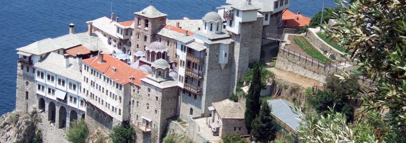
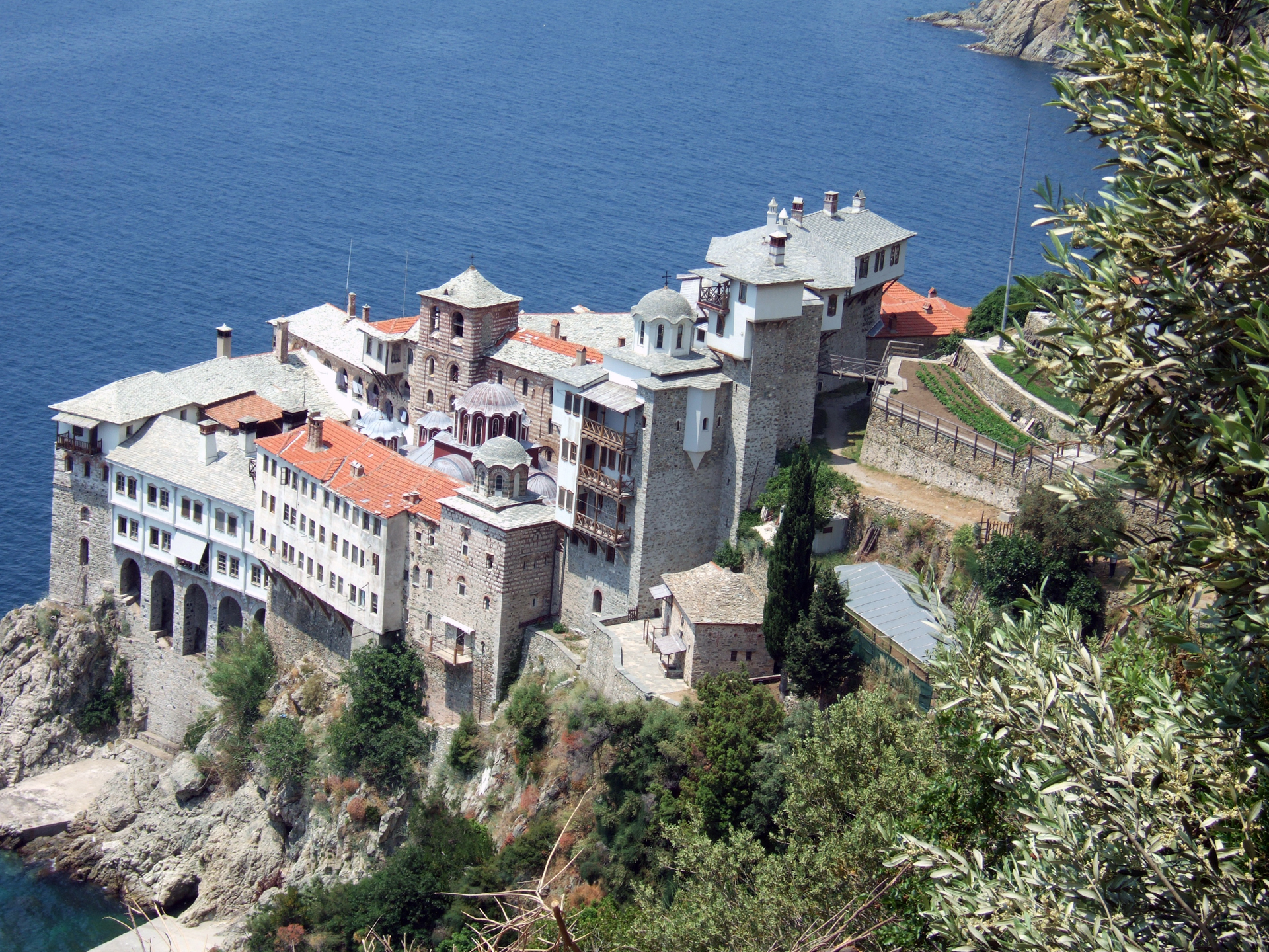
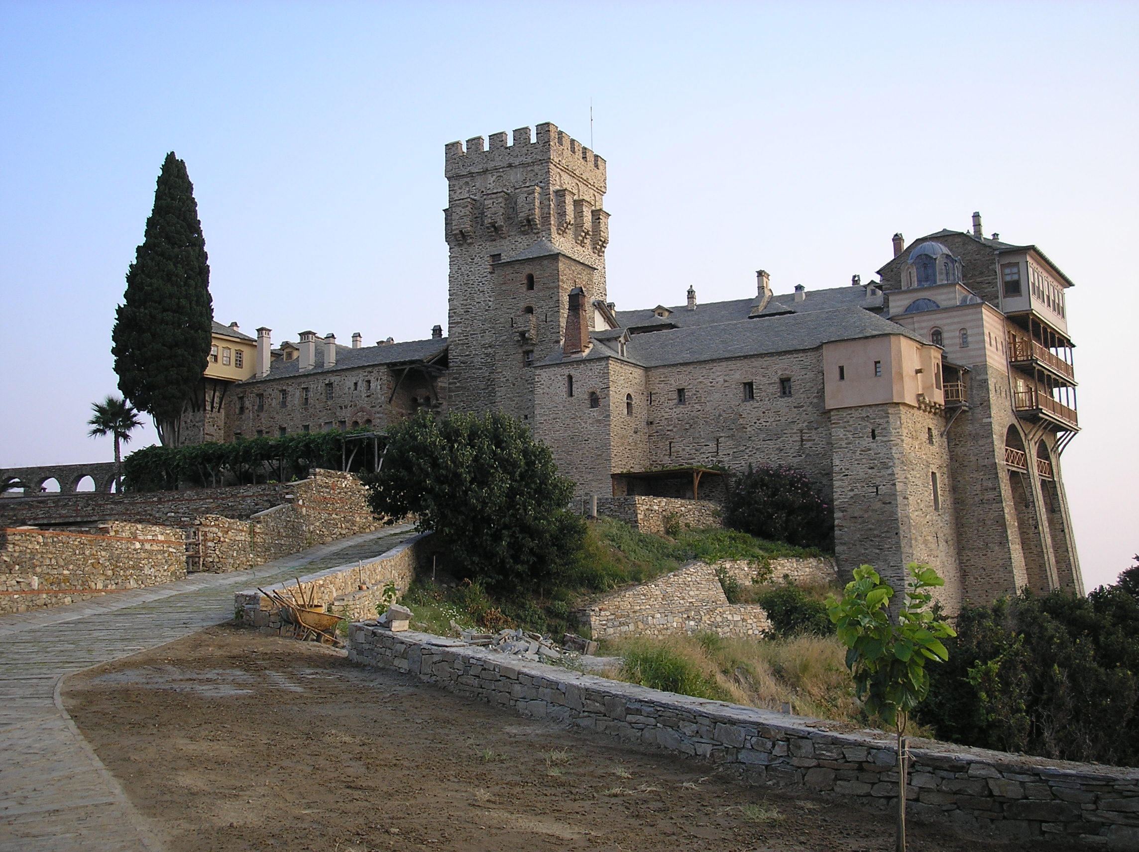
The monasteries of Athos display the typical layout of orthodox monastic establishments (to be found as far away as Russia): a square, rectangular, or trapezoidal wall flanked by towers, which encloses the consecrated place, in the centre of which the community's church (katholikon) stands alone. Strictly organized according to principles dating from the 10th century are the areas reserved for communal activities (refectory, cells, hospital, library), those reserved solely for liturgical purposes (chapels, fountains), and the defensive structures (arsenal, fortified tower). The organization of agricultural lands in the idiorrythmic skites (daughter houses of the main monasteries), and the kellia and kathismata (farms operated by monks) is also very characteristic of the medieval period.
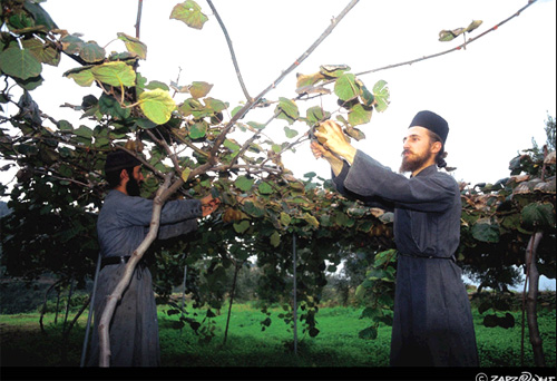
The monastic ideal has at Mount Athos preserved traditional human habitations, which are representative of the agrarian cultures of the Mediterranean world and have become vulnerable through the impact of change within contemporary society. Mount Athos is also a conservatory of vernacular architecture and agricultural and craft traditions.
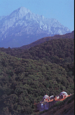
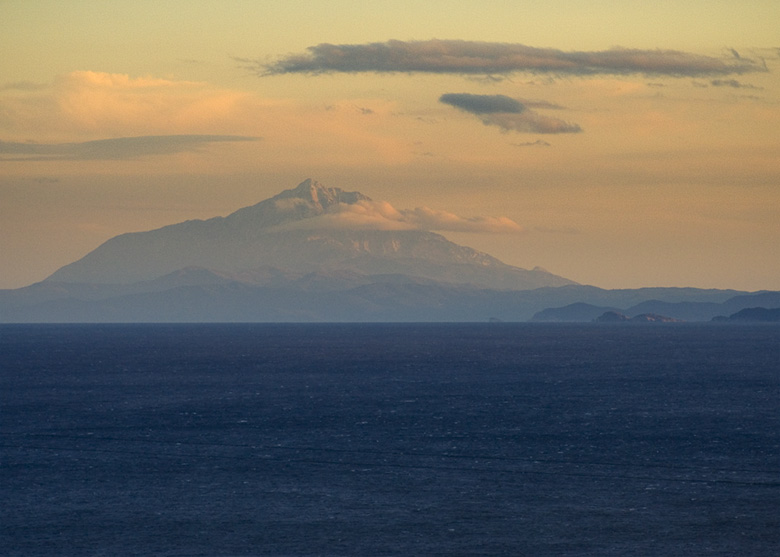
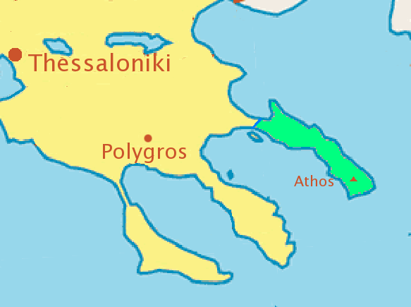
The northernmost of the three peninsulas jutting into the Aegean Sea from Chalkidi is a narrow rocky strip approximately 50 km long and 10 km wide, rising to 2,033 m. In ancient Greek mythology the peninsula was said to be the stone thrown at Poseidon by the giant Athos. For Christians it was the Garden of the Virgin, the priceless gift that Christ gave his mother. The precise date of the first Christian establishments on Mount Athos is unknown. However, the monastic movement began to intensify in 963, when the future St Athanasius the Athonite, having left the Theme of Rithynia, founded Great Lavra on the tip of the peninsula. In 972 the first Typikon (agreement) was concluded at Karyes between the Emperor John I Tzimiskes and the monks of Mount Athos. It provided the basis of the exceptional status still enjoyed by the 'Holy Mount' today.
Today Athos includes 20 monasteries, 12 skites, and about 700 houses, cells, or hermitages. Over 1,000 monks live there in communities or alone, as well as in the 'desert' of Karoulia where cells cling to the cliff face rising steeply above the sea.
| Altitude: | 2033 meters |
| Longitude: | 24o 19' 40.39" E |
| Latitude: | 40o 09' 31.19" N |

| Type of location: | UNESCO - World Heritage List, Monastic Community, Wetland, Peninsula |
| Other Names: | ATHOS, ATHON (Ancient) |

Receive our daily Newsletter with all the latest updates on the Greek Travel industry.
Subscribe now!


