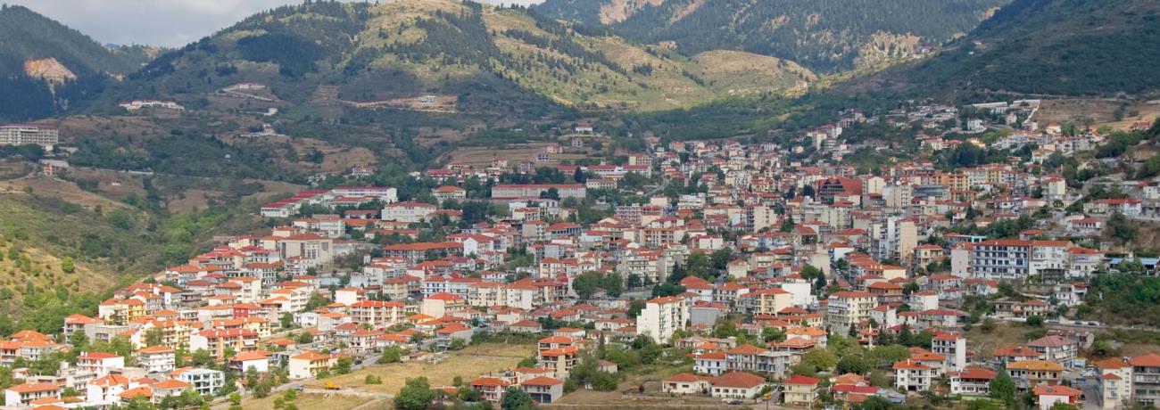
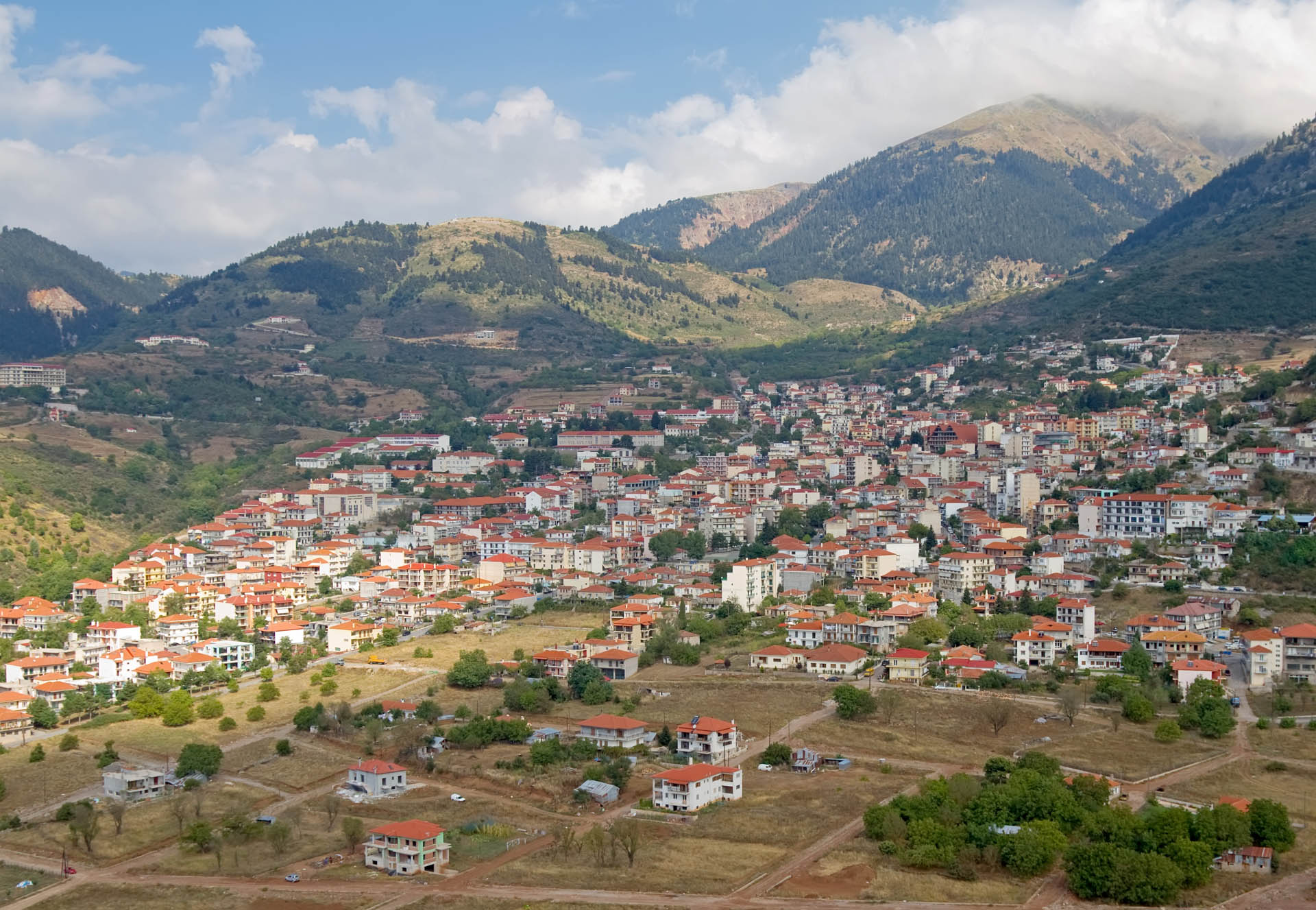
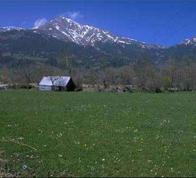
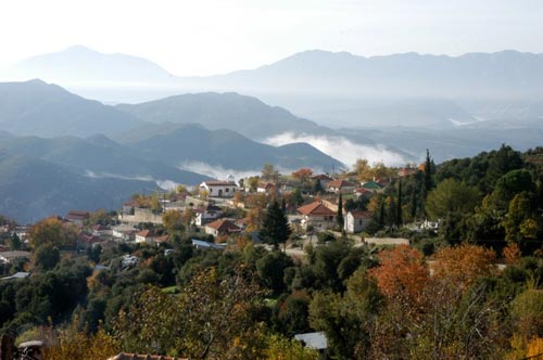
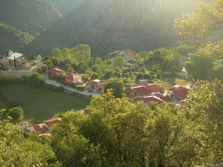
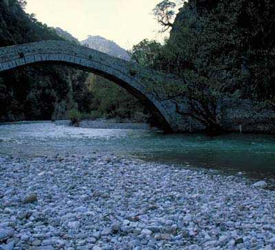
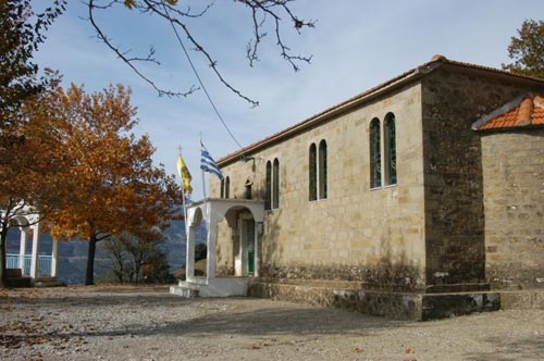
Wild and proud, friendly and genuine, Evrytania stands tall through centuries. Its exquisite natural environment is the source of life and inspiration. Historic monuments, monasteries and churches untouched by time, impressive mountains, dense forests and picturesque villages compose a fairytale world.
The view of Kremasta lake from Episkopi or Tsagkaralona | The warm hospitality of the small guest houses or the luxurious hotels | Walks at the picturesque alleyways | The unique "Forest festival" during summer | The alpine gastronomic pleasures, such as the special prosciutto of Proussos and the delicious sausages of Karpenissi | Feta cheese and other dairy products, such as the famous "Tsalafouti"| Tsipouro, fir tree honey and "Velouchi" mountain tea