http://www.gtp.gr
June 20, 2013 Language selection
Map Search | Hierarchical Search | Special Search

Destinations Guide

You are here GREECE ALONISSOS KYRA PANAGIA

KYRA PANAGIA (KPA), Island, ALONISSOS

Geographical Data

Type of location: 
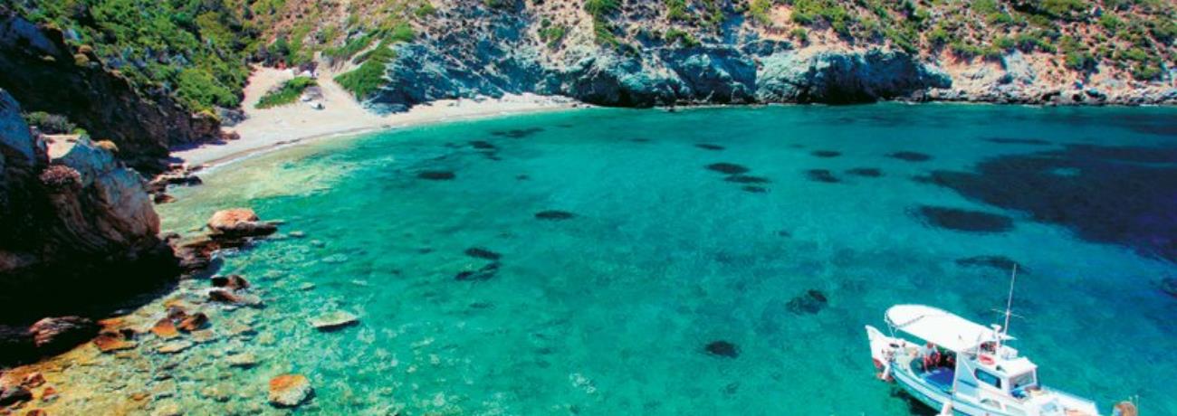
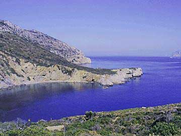
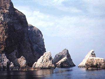
Port, Settlement, Monastery, Anchorage, Bay
Other Names: PELAGONISSI, PELAGOS (Known as:), EPHTHYROS, POLYAIGOS (Ancient), AGIOS PETROS (Name of the bay)
Postal Code: 37005
Tel +30 24240
Altitude: 302 meters
Longitude: 24o 04' 24.55" E
Latitude: 39o 19' 31.9" N

Map

Population Census

Year Population
1991 1

Geographical Boundaries

  KYRA PANAGIA (Island) belongs to ALONISSOS (Island)
ALONISSOS (Island) belongs to ALONISSOS (Municipality (Kapodistrias plan))
ALONISSOS (Municipality (Kapodistrias plan)) belongs to NORTH SPORADES (Island complex)
NORTH SPORADES (Island complex) belongs to MAGNESSIA (Prefecture)
MAGNESSIA (Prefecture) belongs to THESSALIA (Region)
THESSALIA (Region) belongs to GREECE (Country)
Located: 
  3,6 Nautical miles Northeast (NE) of: ALONISSOS, Island, NORTH SPORADES, GREECE
Search the above location for: 
  Travel and travel-related companies and organizations:
  1 companies/organizations found
  Accommodation:
  0 hotels found
  Areas and places of interest within the above area:
  4 areas and places of interest found
  Domestic sea schedules:
  Domestic sea schedules for the above location  
   Information of the location:
If you want to see them individually choose one from the list below or click here to see them all (1) members only
     Selected tourism enterprises (1)
  Total area information:
  3 information found
Photo Album 
Alonissos, view from the Monastery of the Virgin at Kyra Panagia
Kyra Panagia
Monastery of the Virgin at Kyra Panagia, Alonissos
Pancratium maritimum from Psathoura island, Alonissos
Results:  4 from 8 More photos...


Destinations
Travel Directory
Accommodation
Beginning with
Destinations |  Accommodation | Companies |  Ferry Schedules | Home