| Altitude: | 177 meters |
| Longitude: | 24o 10' 14.69" E |
| Latitude: | 39o 23' 30.03" N |

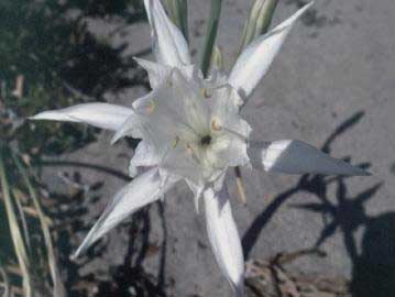
| Type of location: | Settlement, Cave, Archaeological site, Neolithic finds, Mesolithic finds |
| Other Names: | GERONTIA (Ancient) |
| Postal Code: | 37005 |
| Year | Population |
|---|---|
| 1991 | 1 |

Με συνολική προσέλευση 4.000 επισκεπτών και κατάμεστες αίθουσες στα ξενοδοχειακά workshops, εγκαινιάστηκε το πρώτο 100% Hotel Show στην Κρήτη. ...
Thu, 18 Apr 2024
Read more...
An increasing demand for cruise tourism to Greece is creating the need for regulation and strategy to ensure the protection of destinations....
Thu, 18 Apr 2024
Read more...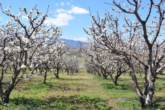
The two-day ‘Cherry Blossom in Pieria’ initiative highlighted the Central Macedonia region’s tourism potential....
Thu, 18 Apr 2024
Read more...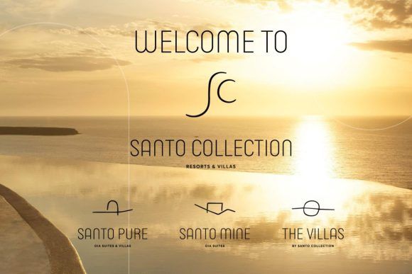
The Santo Collection Resorts & Villas welcomes two new members - Santo Mine and The Villas - and is ready to offer guests a combination of more than 30 unique experiences and top-notch services....
Thu, 18 Apr 2024
Read more...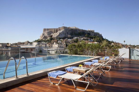
Greece and Athens are winning over investors interested in the hotel sector thanks to robust tourism figures....
Wed, 17 Apr 2024
Read more...
Greece expanded its commitments to a bluer economy announcing the creation of a 2-billion-euro Decarbonization Fund for the Greek islands....
Wed, 17 Apr 2024
Read more...
Receive our daily Newsletter with all the latest updates on the Greek Travel industry.
Subscribe now!