May 18, 2013
Language selection
Destinations Guide
Geographical Data
Type of location:
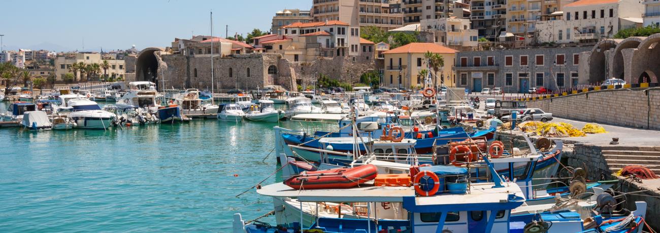
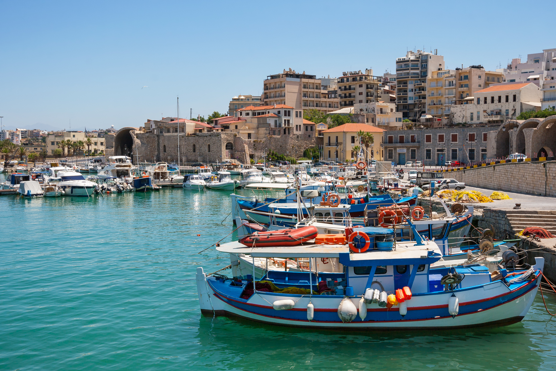
Port, Listed traditional settlement, Town hall, Prefecture capital, Province capital, Island capital, Regional seat, Municipal district, Archbishop house
Other Names:
CHANDAX (Byzantine period), IRAKLIO (Alternative)
Tel
+30 2810
Altitude:
34 meters
Longitude:
25o 08' 43.47" E
Latitude:
35o 20' 30.76" N
Map
Population Census
Year
Population
1981
102398
1991
115124
Geographical Boundaries
Distances:
4,8 Kilometers Southeast (SE) HERAKLIO , Airport, CRETE ,
GREECE
138 Kilometers West (W) CHANIA , Town, CRETE ,
GREECE
164 Nautical miles Northeast (NE) RODOS , Town, DODEKANISSOS ,
GREECE
174 Nautical miles Northwest (NW) PIRAEUS , Town, ATTIKI ,
GREECE
Search the above location for:
"La Parisienne", a fresco from Knossos, Archaeological Museum of Heraklion
A view of Heraklio port with the castle at a distance
Eleftherios Venizelos' statue in Platia Eleftherias, Iraklion
Heraklio