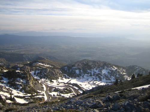
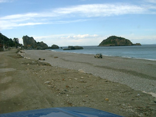
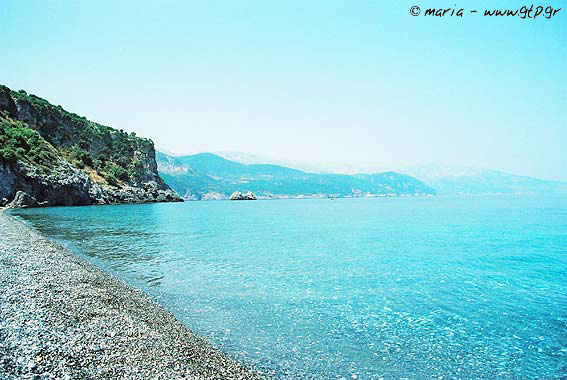
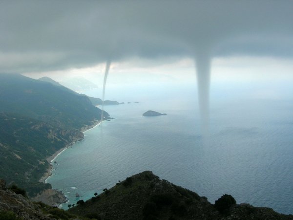
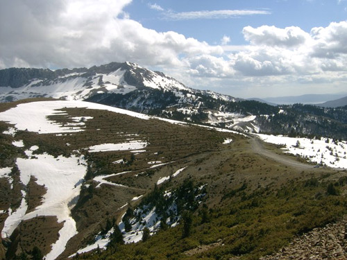
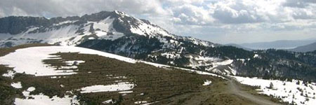
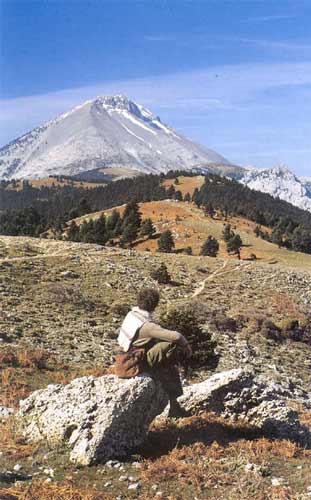
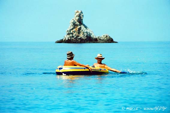
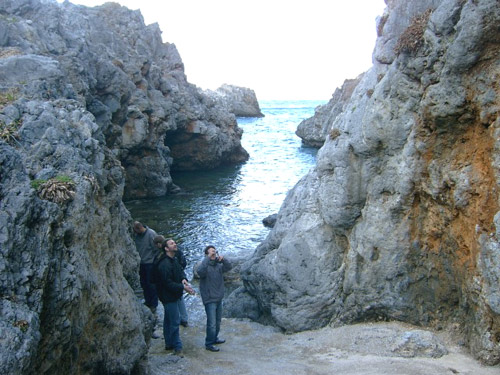
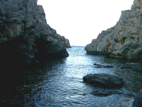
Photo gallery
Displaying 10 out of 11 total photos found for EVIA.
Map & Distances
It was named after:
The town hall located in:
Borders:
South (S) with:
ERETRIA
Municipality,
CHALKIDA
,
GREECE
Southwest (SW) with:
NEA ARTAKI
Municipality,
CHALKIDA
,
GREECE
West (W) with:
MESSAPIES
Municipality,
CHALKIDA
,
GREECE
South (S) with:
LILADIO
Municipality,
CHALKIDA
,
GREECE
East (E) with:
KYMI
Municipality,
EVIA
,
GREECE
Southeast (SE) with:
AMARYNTHOS
Municipality,
CHALKIDA
,
GREECE
Is washed (by):
| Longitude: |
23o 49' 31.3" E |
| Latitude: |
38o 34' 27.56" N |
Hotels, local businesses, destinations & directions

29
Related Destinations
View

7
Hotels & Accommodation
View

26
Businesses & organizations
View all

Domestic sea schedules
Local information
Residents
| Year |
Population |
| 1991 |
7219 |
References & Citations
Choose one from the list below or click here to see them all (1)

If you want to find additional information on the greater and/or surrounding areas select one of the titles below and click "more"