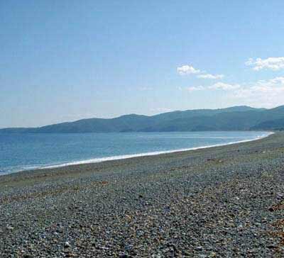
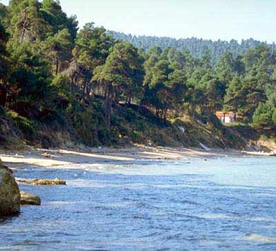
The village is located on a slope of a hill covered with pine trees.
Its name has derived from the Greek ("ellinika") ships which anchored at the beach
before the naval battle of Artemissio.
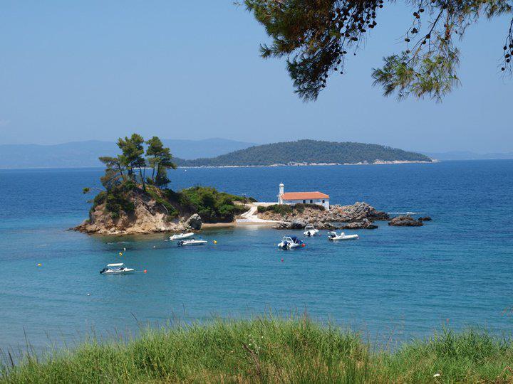
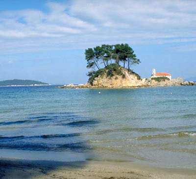
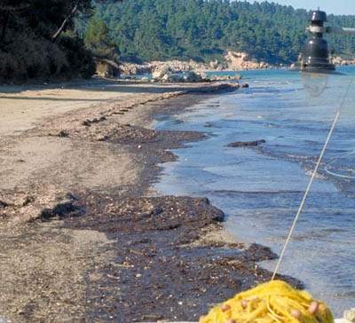
Its beautiful beach is a real jewel, a harbour for small boats, with
pine trees along the sea. Across the beach there is a small island with the church
of St. Nikolaos. Swimming to the island is an opportunity to enjoy a workout.
Τhis text is cited May 2003 from the Municipality
of Artemissio tourist pamphlet.
Photo gallery
Map & Distances
Distances:
103.0 Kilometers South-southeast (SSE) the prefectural capital CHALKIDA
Town, EVIA
,
GREECE
26.5 Kilometers West-southwest (WSW) the provincial capital ISTIEA
Small town, EVIA
,
GREECE
Altitude:
114 meters
Longitude:
23o 19' 51.64" E
Latitude:
39o 00' 13.35" N
Hotels, local businesses, destinations & directions
If you want to find additional information on the greater and/or surrounding areas select one of the titles below and click "more"
We could't find news articles relevant to this location/area.
Latest Travel & Tourism News from GTP Headlines
New Greece-Emirates Deal Targets Year-Round Tourism Growth
Greece signed a strategic tourism agreement with Emirates at ATM 2025 in Dubai, aiming to boost year-round travel, expand long-haul connectivity and promote lesser-known destinations....
Global Air Travel Rises in March 2025, but Airlines See Lower Seat Occupancy
Global air travel demand rose in March, but rising capacity led to lower seat occupancy rates, highlighting ongoing supply-demand challenges for airlines, according to the International Air Transport Association (IATA)....
Greece Outlines Major Infrastructure Push to Modernize Transport Network
Greece is advancing a nationwide infrastructure plan to modernize roads, railways, and urban transport, aiming for improved connectivity, safety, and EU integration....