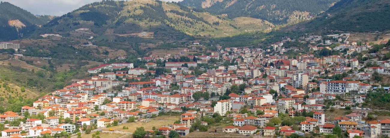
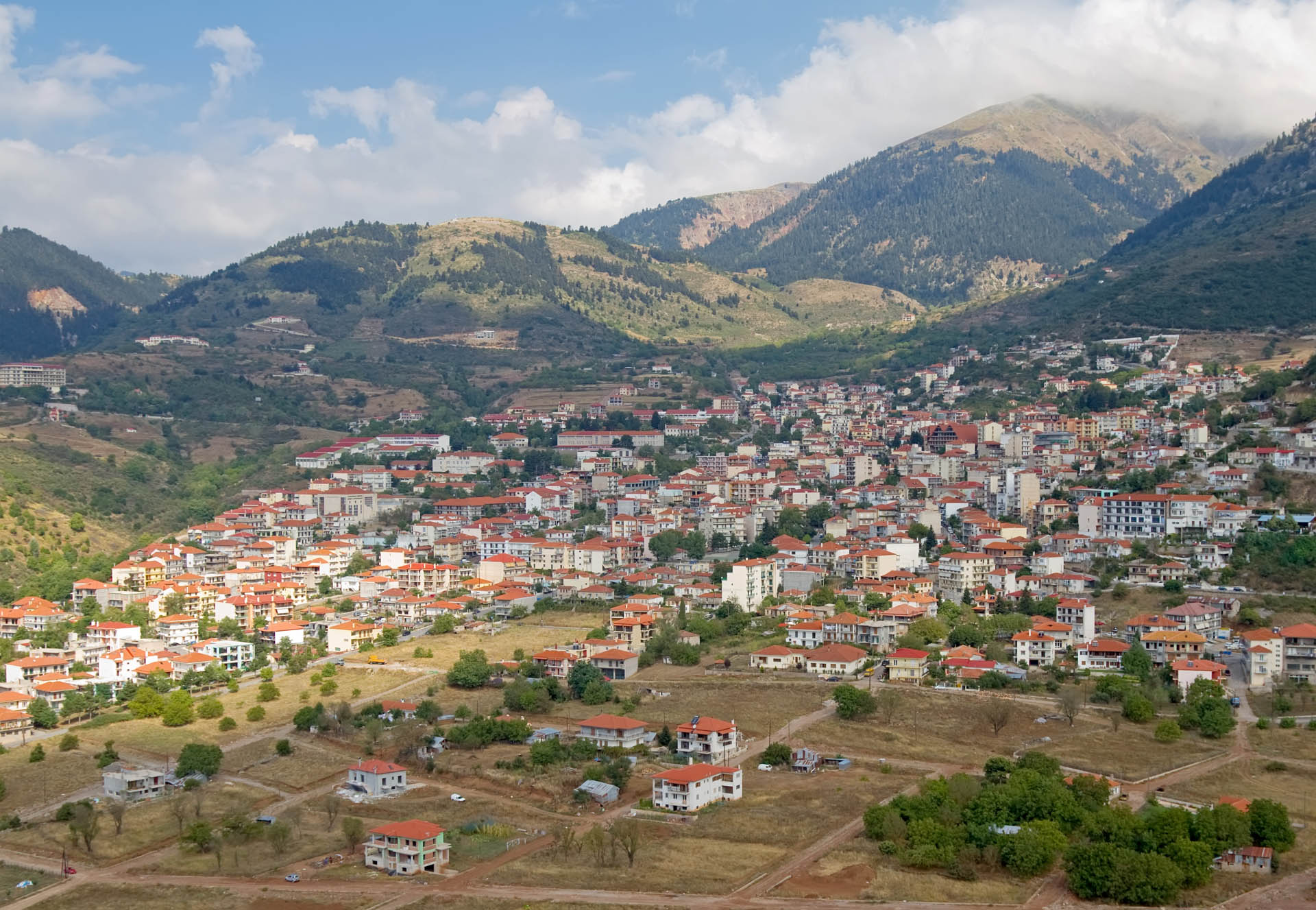
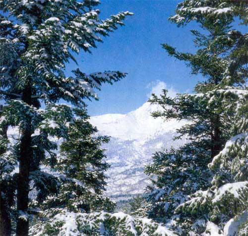
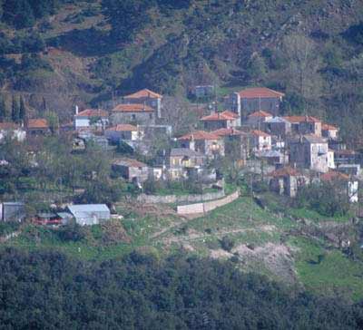
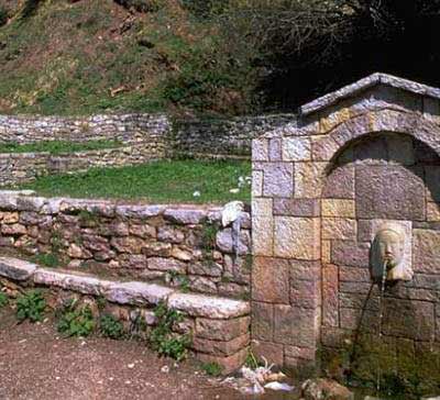
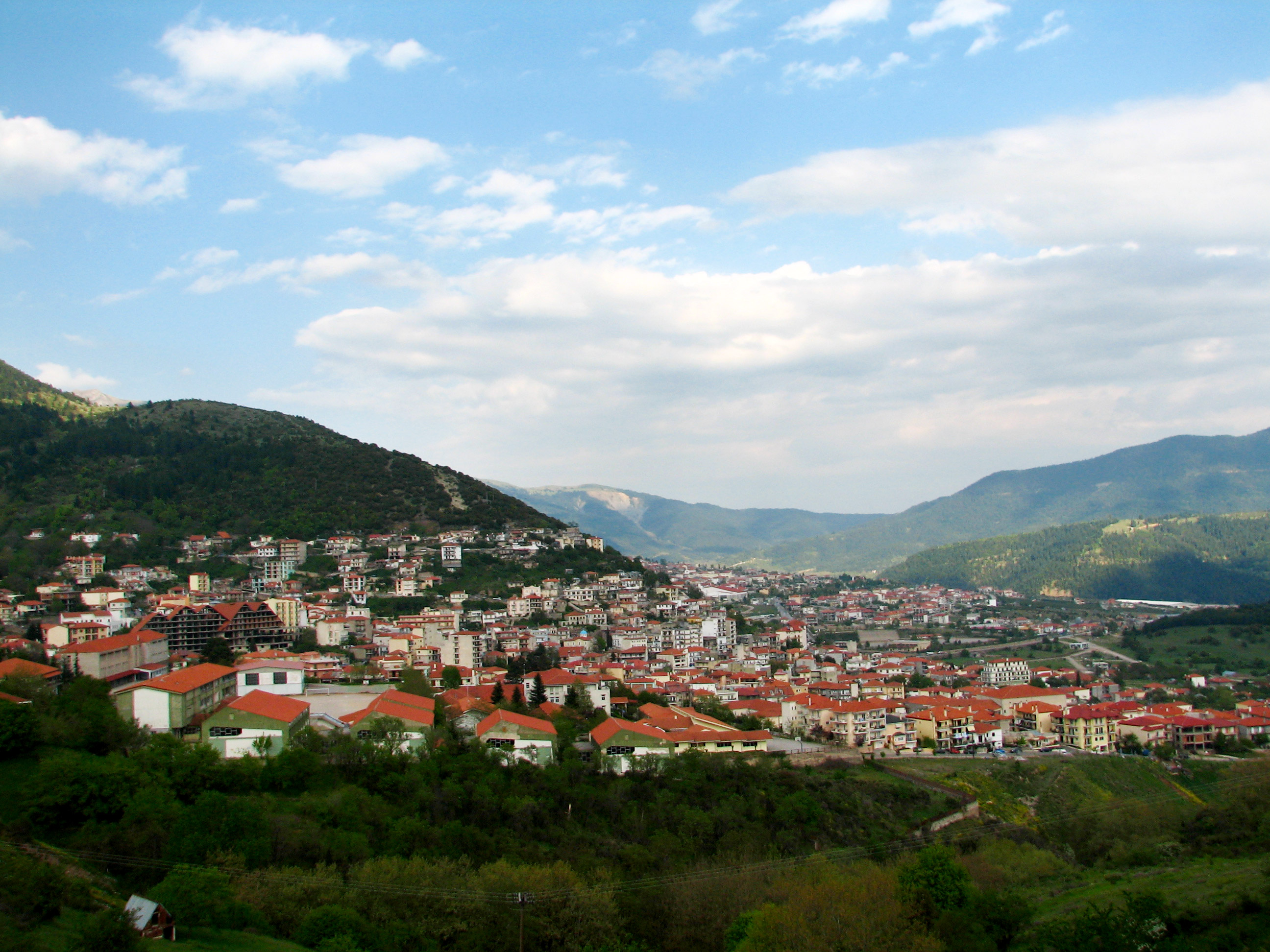
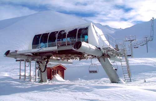
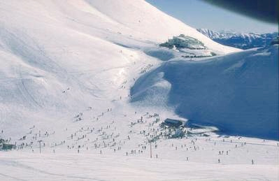
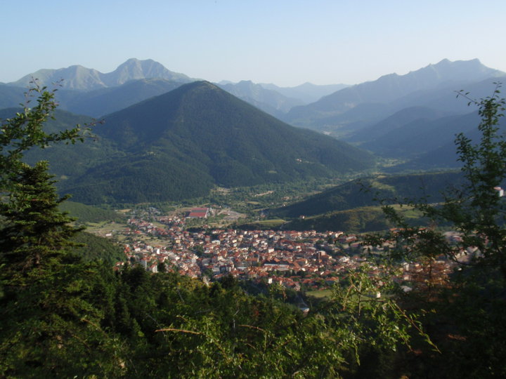
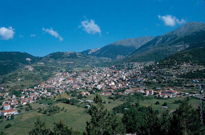
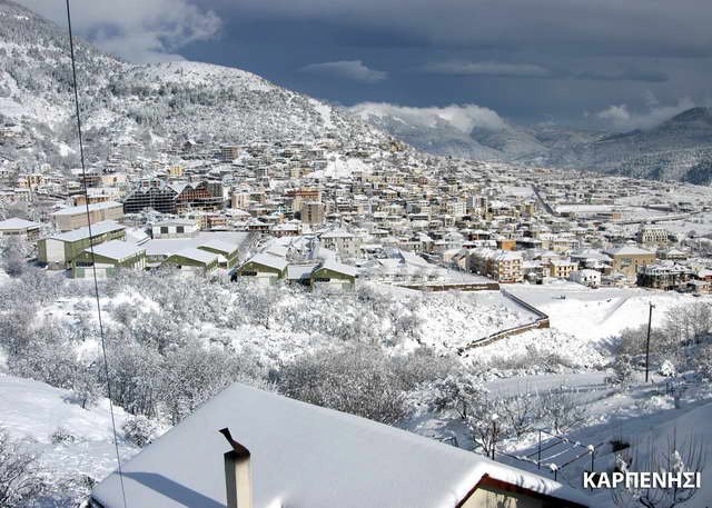
Photo gallery
Displaying 10 out of 18 total photos found for KARPENISSI.
Map & Distances
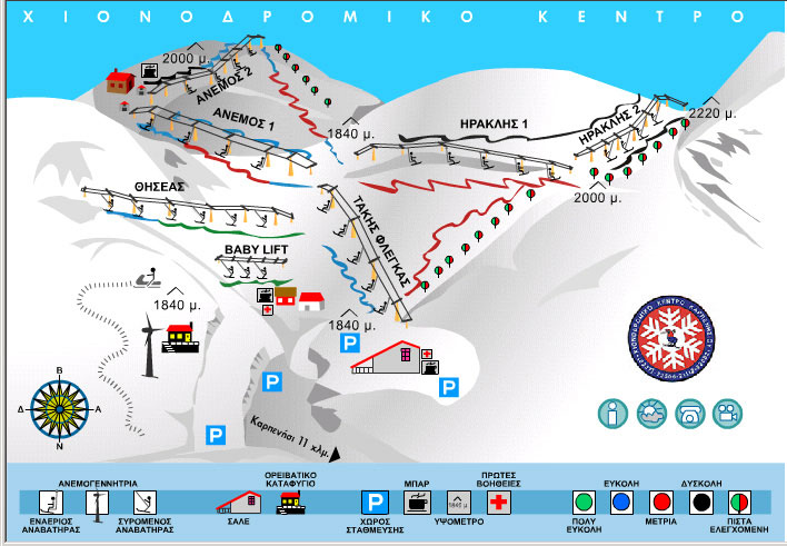
It is the gateway for access to:
Located:
Distances:
| Altitude: |
966 meters |
| Longitude: |
21o 47' 33.37" E |
| Latitude: |
38o 54' 50.9" N |
Hotels, local businesses, destinations & directions

28
Related Destinations
View

52
Hotels & Accommodation
View

90
Businesses & organizations
View all

Domestic sea schedules
Local information
| Type of location: |
Listed traditional settlement, Town hall, Prefecture capital, Province capital, Cathedral house |
| Postal Code: |
36100 |
Residents
| Year |
Population |
| 1991 |
5868 |
| 1981 |
5230 |
References & Citations
Choose one from the list below or click here to see them all (20)

If you want to find additional information on the greater and/or surrounding areas select one of the titles below and click "more"