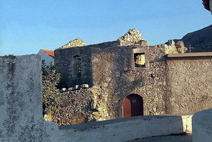
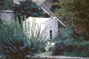
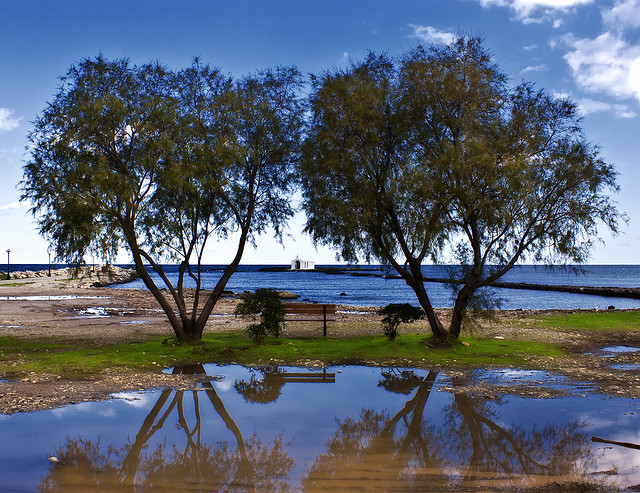
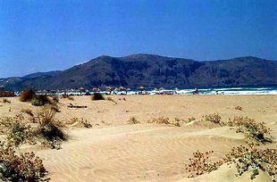
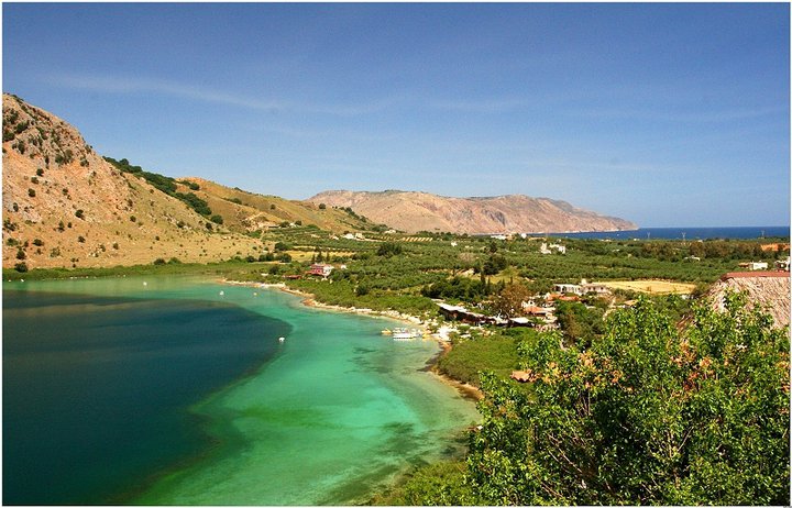
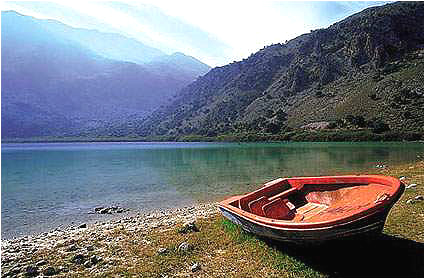
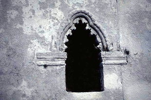
Photo gallery
Displaying 10 out of 25 total photos found for CHANIA.
Map & Distances
The town hall located in:
Twinnings:
Borders:
East (E) with:
LAPPEI
Municipality,
RETHYMNO
,
GREECE
Southwest (SW) with:
SFAKIA
Municipality,
CHANIA
,
GREECE
South (S) with:
ASSI GONIA
Community,
CHANIA
,
GREECE
West (W) with:
KRYONERIDA
Municipality,
CHANIA
,
GREECE
Northwest (NW) with:
VAMOS
Municipality,
CHANIA
,
GREECE
Ancient sites within the Municipality:
| Longitude: |
24o 17' 00.22" E |
| Latitude: |
35o 19' 44.47" N |
Hotels, local businesses, destinations & directions

19
Related Destinations
View

104
Hotels & Accommodation
View

125
Businesses & organizations
View all

Domestic sea schedules
Local information
| Type of location: |
Beaches under Ministry of Environment Inspection |
| Postal Code: |
73007 |
Residents
| Year |
Population |
| 2001 |
2481 |
| 1991 |
1996 |
References & Citations
Choose one from the list below or click here to see them all (5)

If you want to find additional information on the greater and/or surrounding areas select one of the titles below and click "more"