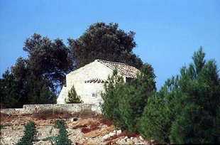
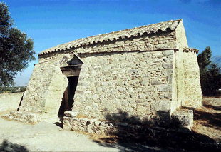
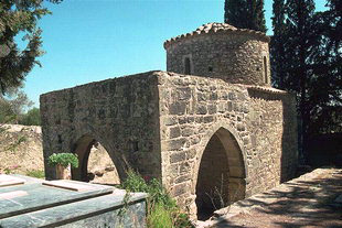
Φωτογραφίες
Εμφανίζονται 10 από συνολικά 31 φωτογραφίες που βρέθηκαν για ΗΡΑΚΛΕΙΟ.
Xάρτης & Γεωγραφία
Εμφάνιση/Απόκρυψη Χάρτη
Εδρα του Δήμου είναι:
Συνορεύει:
Ανατολικά & Νότια (Α & Ν)
ΜΟΙΡΕΣ
Δήμος,
ΗΡΑΚΛΕΙΟ
,
ΕΛΛΑΔΑ
Βορειοανατολικά (ΒΑ)
ΖΑΡΟΣ
Δήμος,
ΗΡΑΚΛΕΙΟ
,
ΕΛΛΑΔΑ
Δυτικά (Δ) με:
ΛΑΜΠΗ
Δήμος,
ΡΕΘΥΜΝΟ
,
ΕΛΛΑΔΑ
Βορειοδυτικά (ΒΔ) με:
ΚΟΥΡΗΤΕΣ
Δήμος,
ΡΕΘΥΜΝΟ
,
ΕΛΛΑΔΑ
Βορειοανατολικά (ΒΑ) με:
ΑΝΩΓΕΙΑ
Δήμος,
ΜΥΛΟΠΟΤΑΜΟΣ
,
ΕΛΛΑΔΑ
Βόρεια (Β) με:
ΚΟΥΛΟΥΚΩΝΑΣ
Δήμος,
ΡΕΘΥΜΝΟ
,
ΕΛΛΑΔΑ
Βρέχεται:
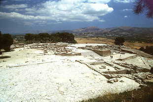
Αρχαίοι τόποι στα όρια του Δήμου:
Γ. Μήκος 24o 47' 37.66" E
Γ. Πλάτος 35o 04' 55.73" N
Ξενοδοχεία, επιχειρήσεις, προορισμοί & οδηγίες
26
Σχετικοί Προορισμοί
Προβολή
92
Ξενοδοχεία & διανυκτέρευση
Προβολή
125
Επιχειρήσεις & οργανισμοί
Προβολή όλων
Δρομολόγια πλοίων
ως αφετηρία
ως προορισμό
ΒΡΕΣ ΔΡΟΜΟΛΟΓΙΟ
Τοπικές πληροφορίες
Χαρακτηρισμός τόπου Παραλίες ελεγχόμενες-ΥΠΕΧΩΔΕ
Ταχ. Κωδικός 70200
Κάτοικοι
Έτος
Πληθυσμός
2001
10001
1991
11166
Αναφορές & Παραπομπές
Επιλέξετε μία ενότητα πληροφοριών από την παρακάτω λίστα ή πατήσετε εδώ για να τις δείτε όλες (3)
Έχετε την δυνατότητα να δείτε περισσότερες πληροφορίες για γειτονικές ή / και ευρύτερες περιοχές επιλέγοντας μια από τις παρακάτω κατηγορίες και πατώντας το "περισσότερα"