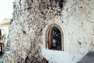
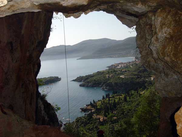
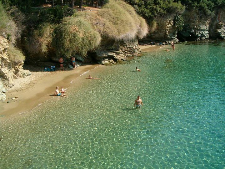
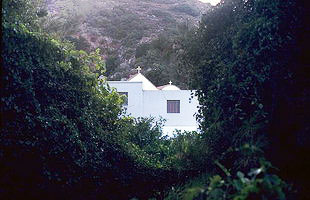
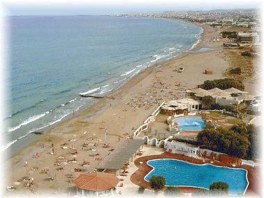
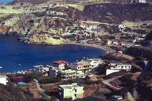
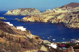
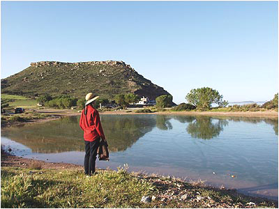
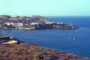
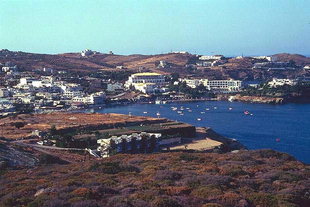
Photo gallery
Displaying 10 out of 20 total photos found for HERAKLIO.
Map & Distances
The town hall located in:
Borders:
South (S)
GORGOLAINI
Municipality,
MALEVIZIO
,
GREECE
East (E)
HERAKLIO
Municipality,
CRETE
,
GREECE
West (W) with:
GEROPOTAMOS
Municipality,
RETHYMNO
,
GREECE
South & West (S & W)
TYLISSOS
Municipality,
HERAKLIO
,
GREECE
Southwest (SW)
KROUSSONAS
Municipality,
HERAKLIO
,
GREECE
Is washed (by):
Ancient sites within the Municipality:
| Longitude: |
25o 00' 48.7" E |
| Latitude: |
35o 21' 30.81" N |
Hotels, local businesses, destinations & directions

31
Related Destinations
View

122
Hotels & Accommodation
View

168
Businesses & organizations
View all

Domestic sea schedules
Local information
| Type of location: |
Beaches under Ministry of Environment Inspection, Blue Flag 2002 |
| Postal Code: |
71500 |
Residents
| Year |
Population |
| 2001 |
13390 |
| 1991 |
8133 |
| 1981 |
4851 |
References & Citations
Choose one from the list below or click here to see them all (7)

If you want to find additional information on the greater and/or surrounding areas select one of the titles below and click "more"