Map & Distances
Distances:
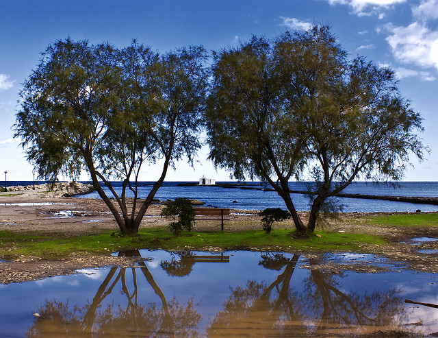
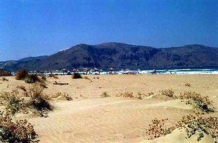
Located:
| Altitude: |
24 meters |
| Longitude: |
24o 15' 35.65" E |
| Latitude: |
35o 21' 46.61" N |
Hotels, local businesses, destinations & directions

7
Related Destinations
View

62
Hotels & Accommodation
View

76
Businesses & organizations
View all

Domestic sea schedules
Local information
| Type of location: |
Port, Beach, Beaches under Ministry of Environment Inspection, Wetland, Bay, Municipal district |
| Other Names: |
ALMYROS (Name of the bay) |
| Postal Code: |
73007 |
Residents
| Year |
Population |
| 1991 |
402 |
| 1981 |
616 |
References & Citations
Choose one from the list below or click here to see them all (15)

If you want to find additional information on the greater and/or surrounding areas select one of the titles below and click "more"