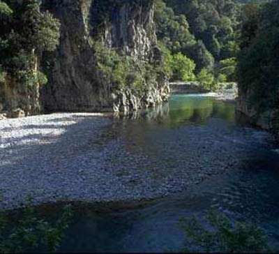
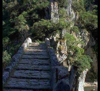
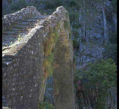
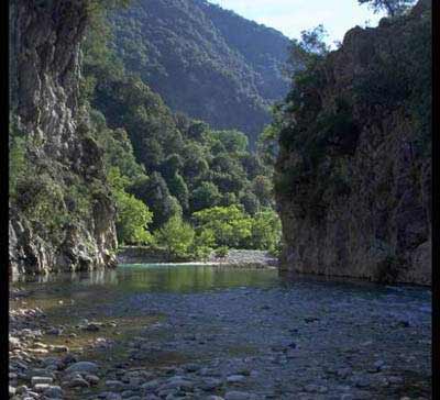
Map & Distances
Borders:
| Longitude: |
21o 50' 48.09" E |
| Latitude: |
38o 39' 09.33" N |
Hotels, local businesses, destinations & directions

18
Related Destinations
View

2
Hotels & Accommodation
View

20
Businesses & organizations
View all

Domestic sea schedules
Local information
Residents
| Year |
Population |
| 1991 |
1694 |
References & Citations
Choose one from the list below or click here to see them all (1)

If you want to find additional information on the greater and/or surrounding areas select one of the titles below and click "more"