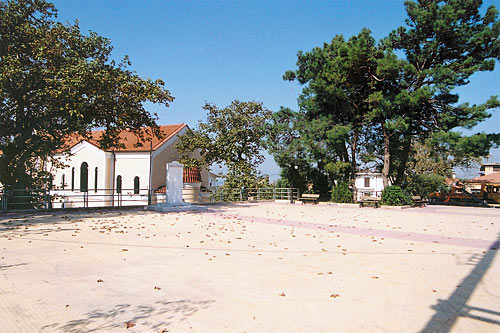
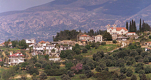
| Longitude: | 21o 46' 28.29" E |
| Latitude: | 38o 09' 49.93" N |
| Area: | 66,37 km2 |

| Postal Code: | 26500 |
| Year | Population |
|---|---|
| 1991 | 9583 |

Ο όμιλος εταιριών Κ. Μπαντουβάς Α.Ε. γιόρτασε την ετήσια περιβαλλοντική δράση του στο Πάρκο Καλλισθενικής Ζαχαρίας Κ. Μπαντουβάς στο Ηράκλειο, Κρήτης....
Fri, 26 Apr 2024
Read more...
International arrivals to Greece rose by 18.7% in the first three months of the year reflecting a growing demand and extended season....
Thu, 25 Apr 2024
Read more...
Occupancy levels at Athens hotels in Q1 increased to 63.5% with the average room rate at 98.47 euros....
Thu, 25 Apr 2024
Read more...
After the Covid-19 pandemic, all the more travelers are interested in nature, outdoors and sports tourism products, according to data by Mabrian....
Thu, 25 Apr 2024
Read more...
Europe's hospitality representatives are concerned about acute labor and skills shortages, uncertain digital rules and a changing political climate....
Thu, 25 Apr 2024
Read more...
Air ticket bookings show a strong demand by Greeks for domestic and international travel for Orthodox Easter and May Day....
Thu, 25 Apr 2024
Read more...
Receive our daily Newsletter with all the latest updates on the Greek Travel industry.
Subscribe now!