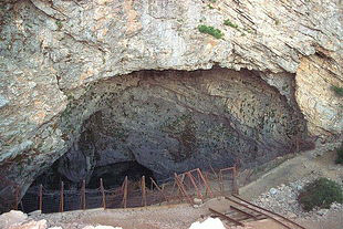
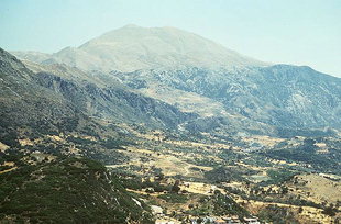
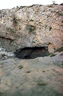
| Altitude: | 510 meters |
| Longitude: | 24o 44' 19.72" E |
| Latitude: | 35o 11' 18.88" N |

| Type of location: | Municipal district |
| Postal Code: | 74062 |
| Year | Population |
|---|---|
| 1991 | 129 |
| 1981 | 174 |

Athens Airport CEO Yiannis Paraschis adjusted initial revenue projections upward in light of positive Q1 data, forecasting arrivals to reach 30 million in 2024....
Fri, 26 Apr 2024
Read more...
A total of 107,204 people will be going on holiday this year subsidized by the Greek state with up to 400 euros as part of the "Tourism for All" program. ...
Fri, 26 Apr 2024
Read more...
A revised set of criteria for the star classification of hotels in Europe is scheduled to take effect in January 2025....
Fri, 26 Apr 2024
Read more...
Ο όμιλος εταιριών Κ. Μπαντουβάς Α.Ε. γιόρτασε την ετήσια περιβαλλοντική δράση του στο Πάρκο Καλλισθενικής Ζαχαρίας Κ. Μπαντουβάς στο Ηράκλειο, Κρήτης....
Fri, 26 Apr 2024
Read more...
International arrivals to Greece rose by 18.7% in the first three months of the year reflecting a growing demand and extended season....
Thu, 25 Apr 2024
Read more...
Occupancy levels at Athens hotels in Q1 increased to 63.5% with the average room rate at 98.47 euros....
Thu, 25 Apr 2024
Read more...
Receive our daily Newsletter with all the latest updates on the Greek Travel industry.
Subscribe now!