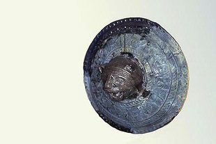
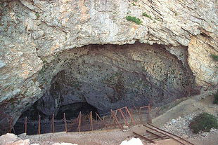
Photo gallery
Displaying 10 out of 45 total photos found for KOURITES.
Map & Distances
Distances:
27.0 Kilometers South-southeast (SSE)
TYMBAKI
Small town,
PYRGIOTISSA
,
GREECE
44.0 Kilometers Northwest (NW) the prefectural capital
RETHYMNON
Town,
CRETE
,
GREECE
25.0 Kilometers South-Southwest (SSW)
AGIA GALINI
Port,
RETHYMNO
,
GREECE
41.5 Kilometers West (W)
SPILI
Small town,
LAMBI
,
GREECE
11.0 Kilometers West-northwest (WNW) the provincial capital
AMARI
Village,
SYVRITO
,
GREECE
| Altitude: |
460 meters |
| Longitude: |
24o 42' 45.15" E |
| Latitude: |
35o 12' 41.86" N |
Hotels, local businesses, destinations & directions

17
Related Destinations
View

3
Hotels & Accommodation
View

19
Businesses & organizations
View all

Domestic sea schedules
Local information
| Type of location: |
Listed traditional settlement, Town hall, Municipal district |
| Postal Code: |
74062 |
Residents
| Year |
Population |
| 1991 |
443 |
| 1981 |
487 |
References & Citations
Choose one from the list below or click here to see them all (2)

If you want to find additional information on the greater and/or surrounding areas select one of the titles below and click "more"
We could't find news articles relevant to this location/area.
Latest Travel & Tourism News from GTP Headlines

Athens Hotels See 5.9% Surge in January-March Occupancy Over 2023
Occupancy levels at Athens hotels in Q1 increased to 63.5% with average room rate at 98.47 euros....
Thu, 25 Apr 2024
Read more...
Study: Tourists Turning to Wellness Travel After Covid
After the Covid-19 pandemic, all the more travelers are interested in nature, outdoors and sports tourism products, according to data by Mabrian....
Thu, 25 Apr 2024
Read more...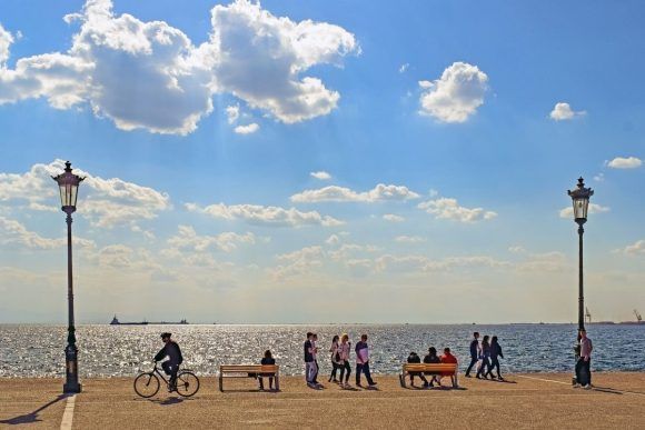
Greece Sees Q1 Int’l Arrivals Rise 18.7% to 1.6 Million
International arrivals to Greece rose by 18.7% in the first three months of the year reflecting a growing demand and extended season....
Thu, 25 Apr 2024
Read more...
Tripadvisor Travelers’ Choice Awards: The Best Greek Hotels for 2024
More than 100 Greek hotels are on Tripadvisor's "Best of the Best" lists for 2024 that are based on reviews of real travelers....
Wed, 24 Apr 2024
Read more...
Passenger Traffic Up 14.4% at Greece’s Airports in First Quarter
Passenger traffic at all 39 airports in Greece during January-March increased by 14.4% compared to the same period last year....
Wed, 24 Apr 2024
Read more...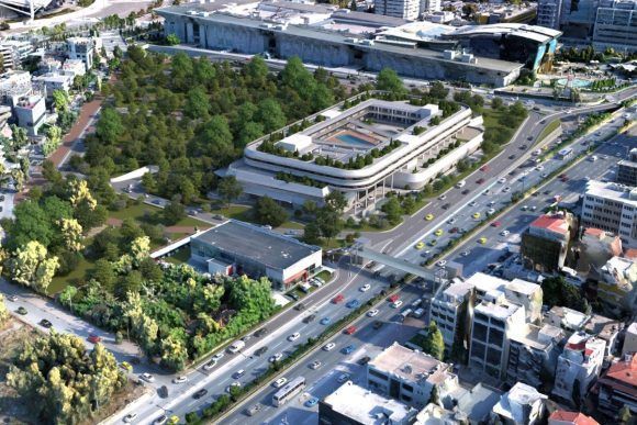
VORIA: €250m Hospitality Project to Transform Northern Athens into Tourism Hub
Details on Project VORIA, a 250-million-euro tourism investment in Marousi, Athens, have been released....
Wed, 24 Apr 2024
Read more...