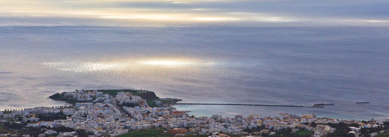
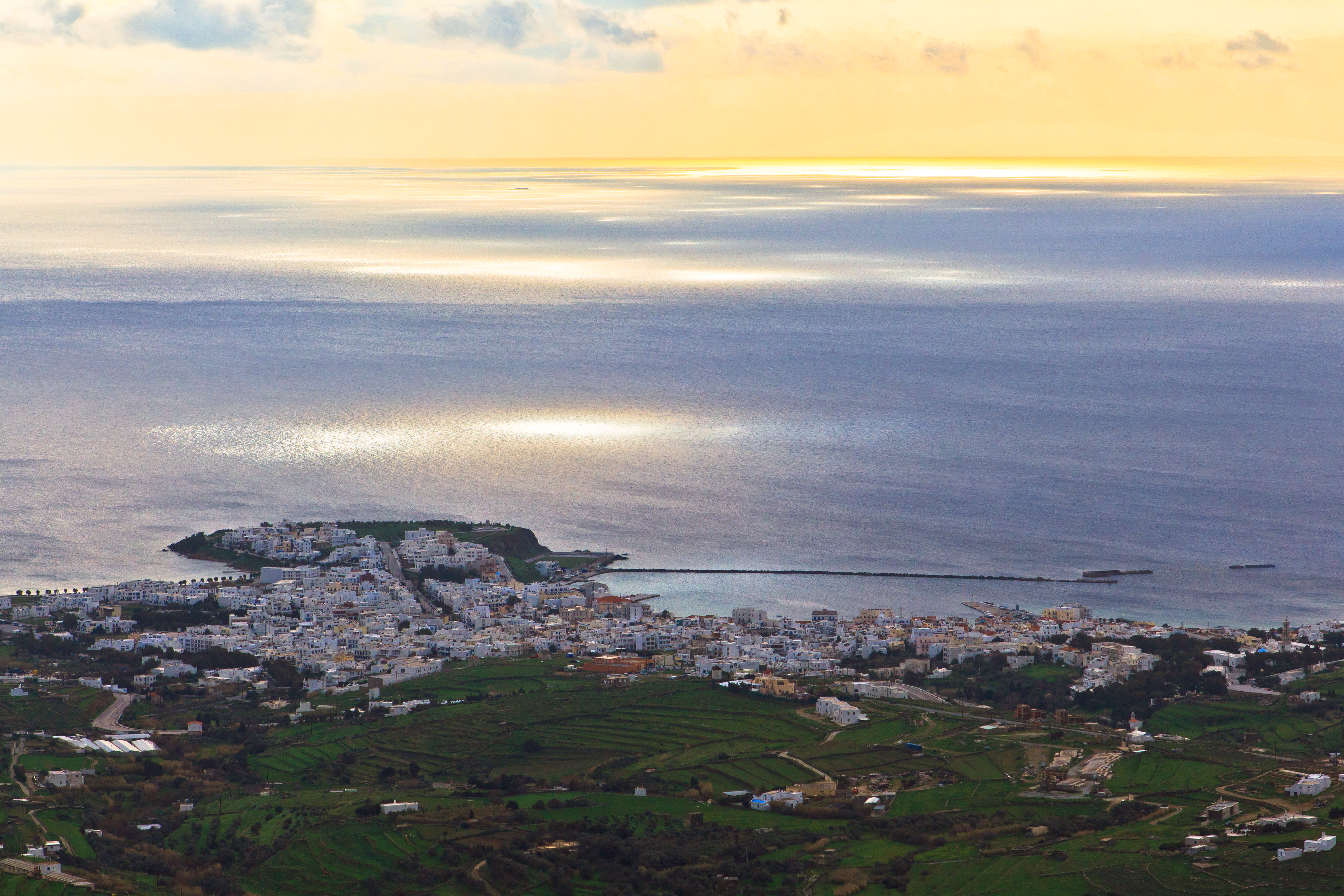
Tinos is an island of the Cycladic Archipelago. It is one of the most
interesting places of
Greece,
with great natural beauty and interesting folk lore. It is an important religious
center, with hundreds of churches and country chapels scattered over the island.
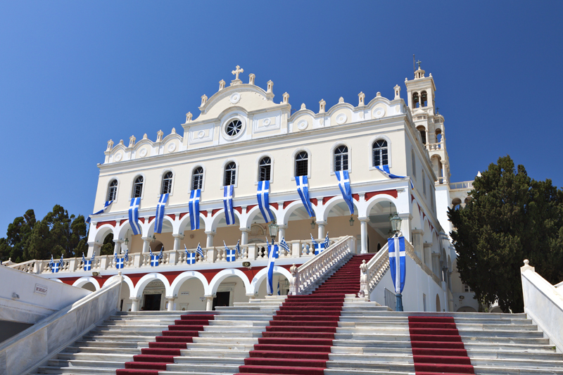
It is the most important place of worship in
Greece,
with the Sanctuary of Evanghelistria, which houses the miracle-working icon of
the Virgin Mary.
The island was inhabited from Prehistoric times. During the classical
period, Tinos had commercial relations with the other islands and the rest of
Greece. Particularly important
to the island was the worship of Poseidon, god of the sea. In the 2nd Century
BC, Tinos was under the domination of
Rome.
In 1204, the
Cyclades Islands
came into the hands of the Venetians and Tinos remained under Venetian rule until
1715. It then became a unique Christian oasis among the
Cyclades
which were all occupied by the Turks. In 1822, a miracle-working icon of the Virgin
Mary, dated to early Christian times, was found on Tinos. On that very spot, the
Sanctuary of Panaghia Evanghelistria was built to house this icon. Tinos then
became a religious centre for the whole of
Greece.
Every year, on the 15th of August, a very important religious celebration takes
place and pilgrims from everywhere come to honour the icon of the Virgin Mary.
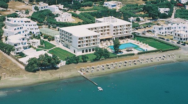
Features of Tinos:
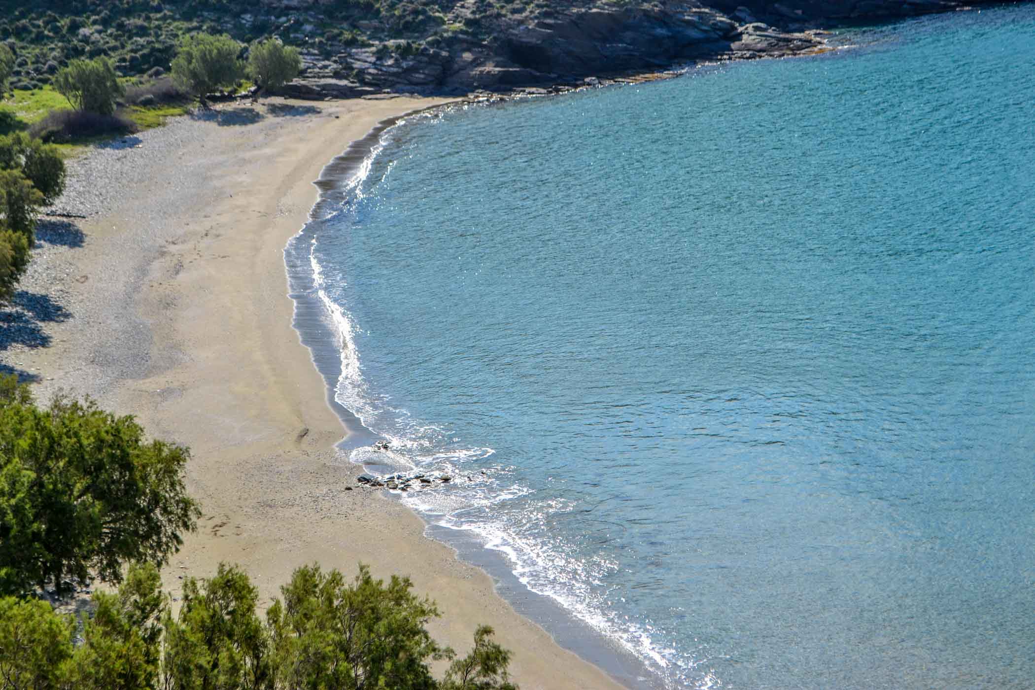
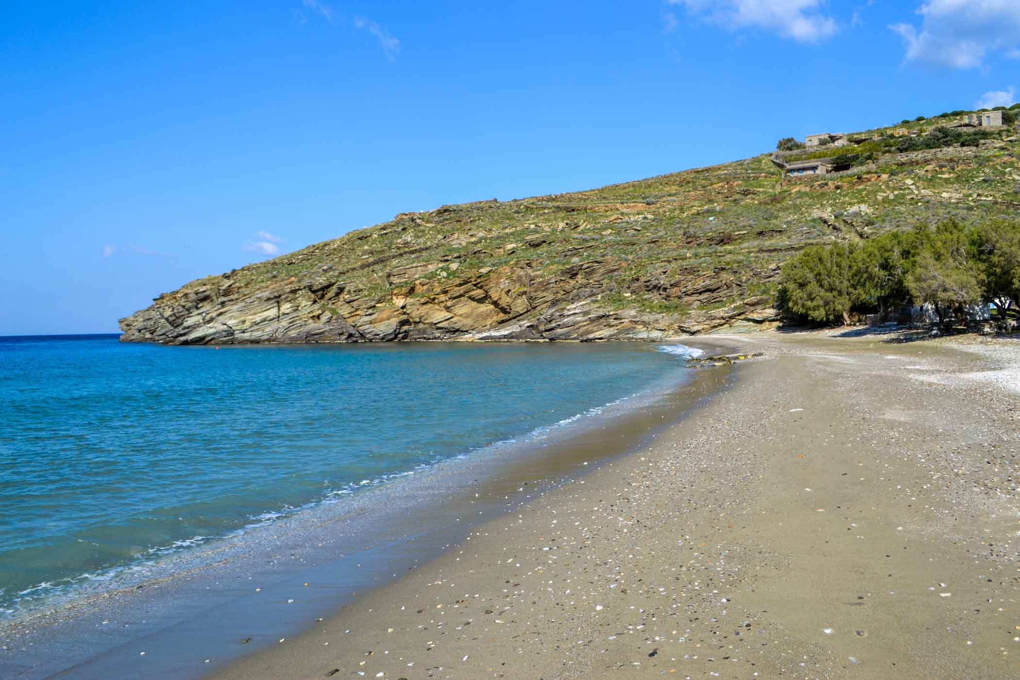
Tinos is the one of the largest island of the Cycladic Archipelago,
after
Andros and
Naxos,
with an area of 197 km2 and a coastline of 114 km. The capital is also called
Tinos. The highest mountain
of the island is Mount Tsiknias, frequently battered by powerful north winds.
According to mythology, Aeolus, king of the winds, lived on that mountain. On
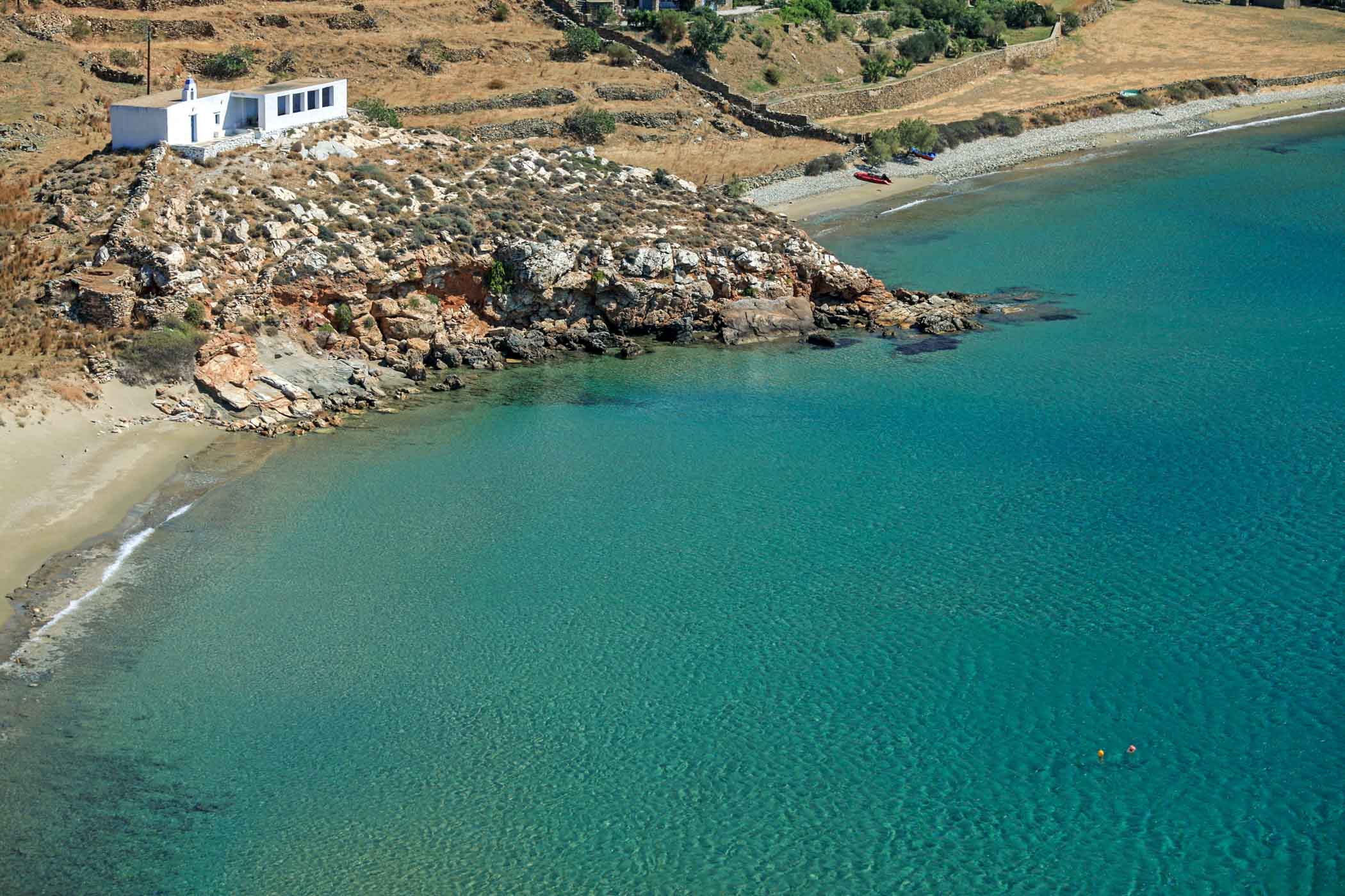
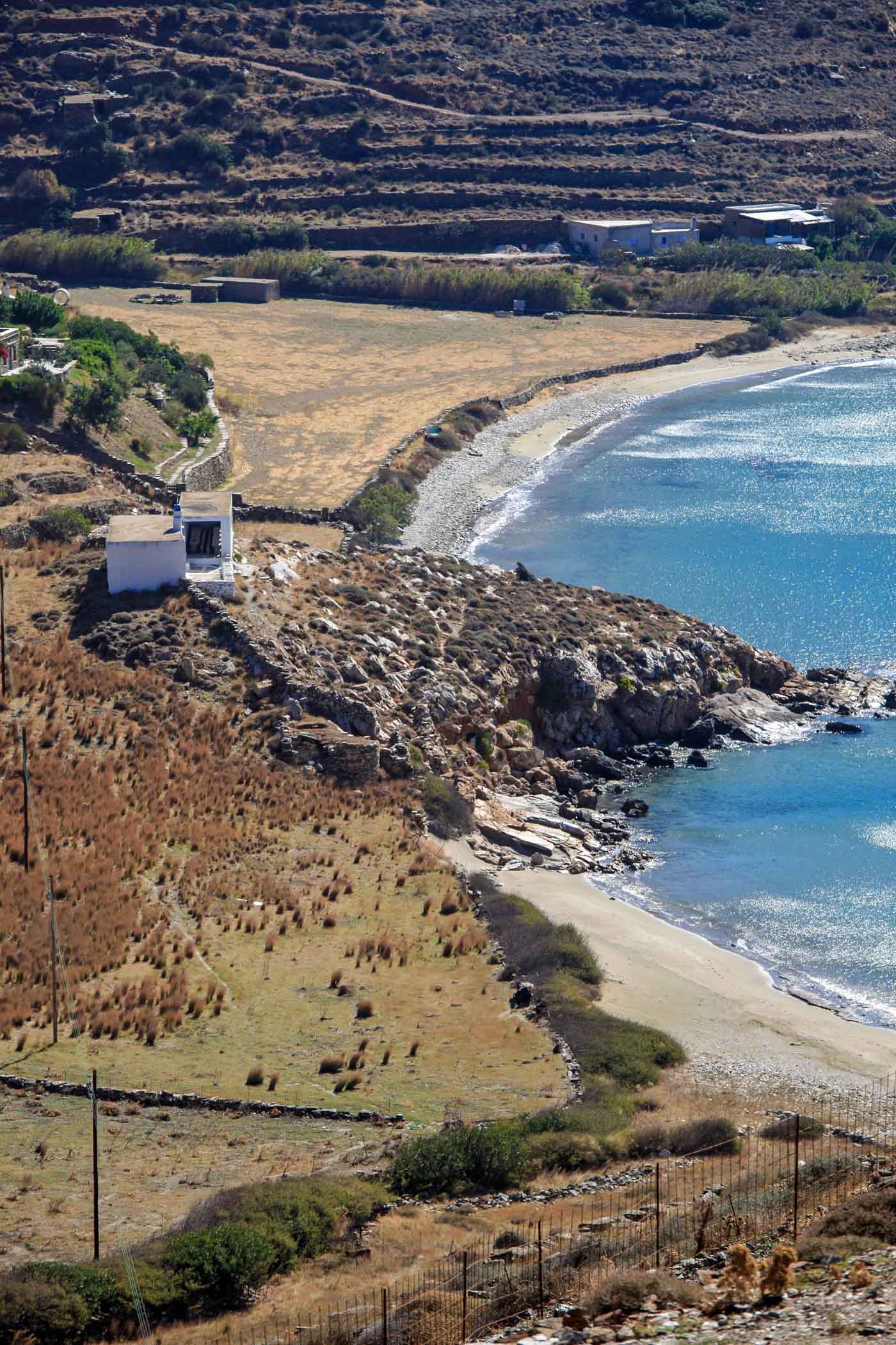
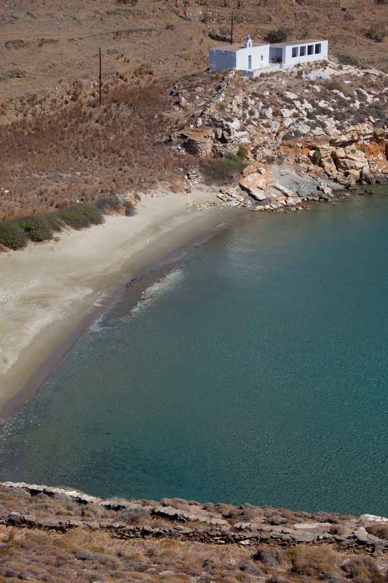
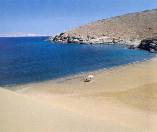
Tinos there are some fertile valleys (
Livada,
Potamia and
Agapi)
as well as several extremely arid areas, such as the surroundings of the village
of
Volax, with rounded granite
rocks strewn over the barren earth.
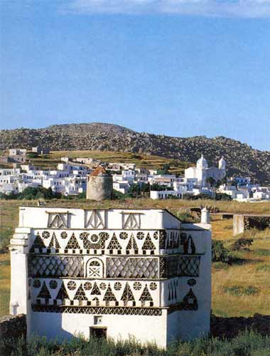
Tinos has important mineral wealth (deposits of chrome, lead, iron,
manganese, etc.). The island also produces white and green marble, unique in the
world. It was used in the construction of Buckingham Palace and in the
Louvre.
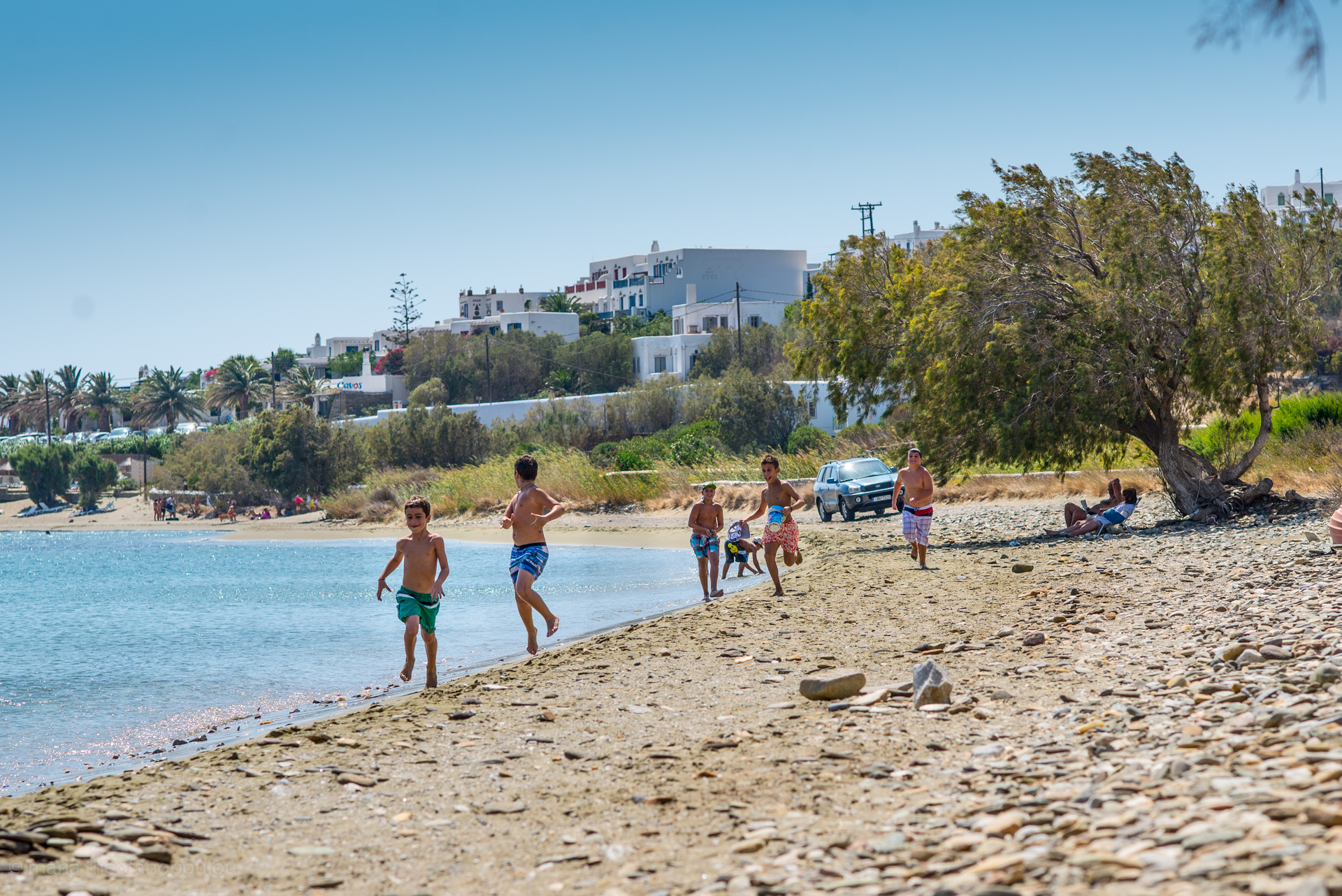
The Tinians have always been farmers and hanged the aspect of their island at
the cost of their unceasing labour. The barren earth turned into fields and the
construction of stone walls created arable plots of land for increased agricultural
production. Today, of course, tourism is an important source of wealth for its
inhabitants.
The Caves of Tinos:
Tinos has several interesting caves:
1. The Cave of Gastrion, in
Kionia.
2. Mygospilia or Kammeni Cave, a few km north-west of the village of
Aetofolia.
3. The cave of Drakolakkos, 4 km west of the village of
Platia.
4. The Cave of Voulismeni, 1 km south of Faneromeni.
5. The Cave of Kithara, 3 km north of Voulismeni Cave
6. The Cave of Fournakion, between Cape Papargiros and Cape Axachopos.
7. The Cave of Spilias, between Cape Fero Krimno and Cape Diasphae.
8. The Caves of Krouftes, north of
Falatados.
9. The Cave of Mourounia, in the northwestern part of the island.
10. The Cave of Koufangeli, west of the harbour of
Panormos.
11. The Cave of Panormos and Kamara, on the northwestern side of the bay of
Panormos.