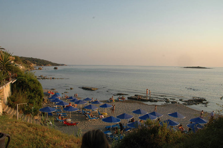
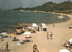
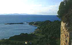
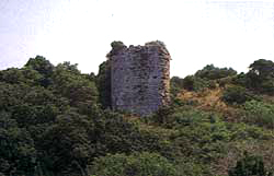
Photo gallery
Displaying 10 out of 20 total photos found for PYRGOS.
Map & Distances
Is washed (by):
Borders:
East (E) with:
ANCIENT OLYMPIA
Municipality,
ILIA
,
GREECE
Northeast (NE) with:
OLENI
Municipality,
ILIA
,
GREECE
North (N) with:
IARDANOS
Municipality,
ILIA
,
GREECE
North (N) with:
AMALIADA
Municipality,
ILIA
,
GREECE
Southeast (SE) with:
VOLAKAS
Municipality,
ILIA
,
GREECE
Ancient sites within the Municipality:
| Longitude: |
21o 25' 47.42" E |
| Latitude: |
37o 41' 07.18" N |
Hotels, local businesses, destinations & directions

45
Related Destinations
View

20
Hotels & Accommodation
View

74
Businesses & organizations
View all

Domestic sea schedules
Local information
| Type of location: |
Beaches under Ministry of Environment Inspection |
Residents
| Year |
Population |
| 1991 |
39183 |
References & Citations
Choose one from the list below or click here to see them all (3)

If you want to find additional information on the greater and/or surrounding areas select one of the titles below and click "more"