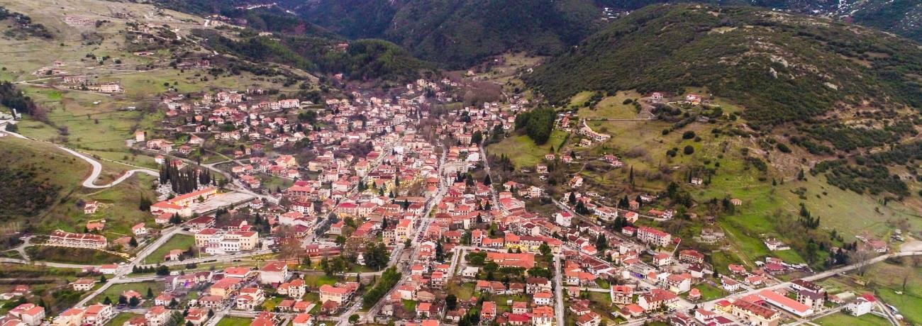
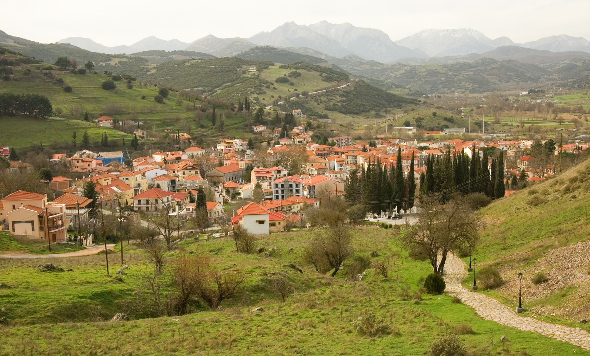
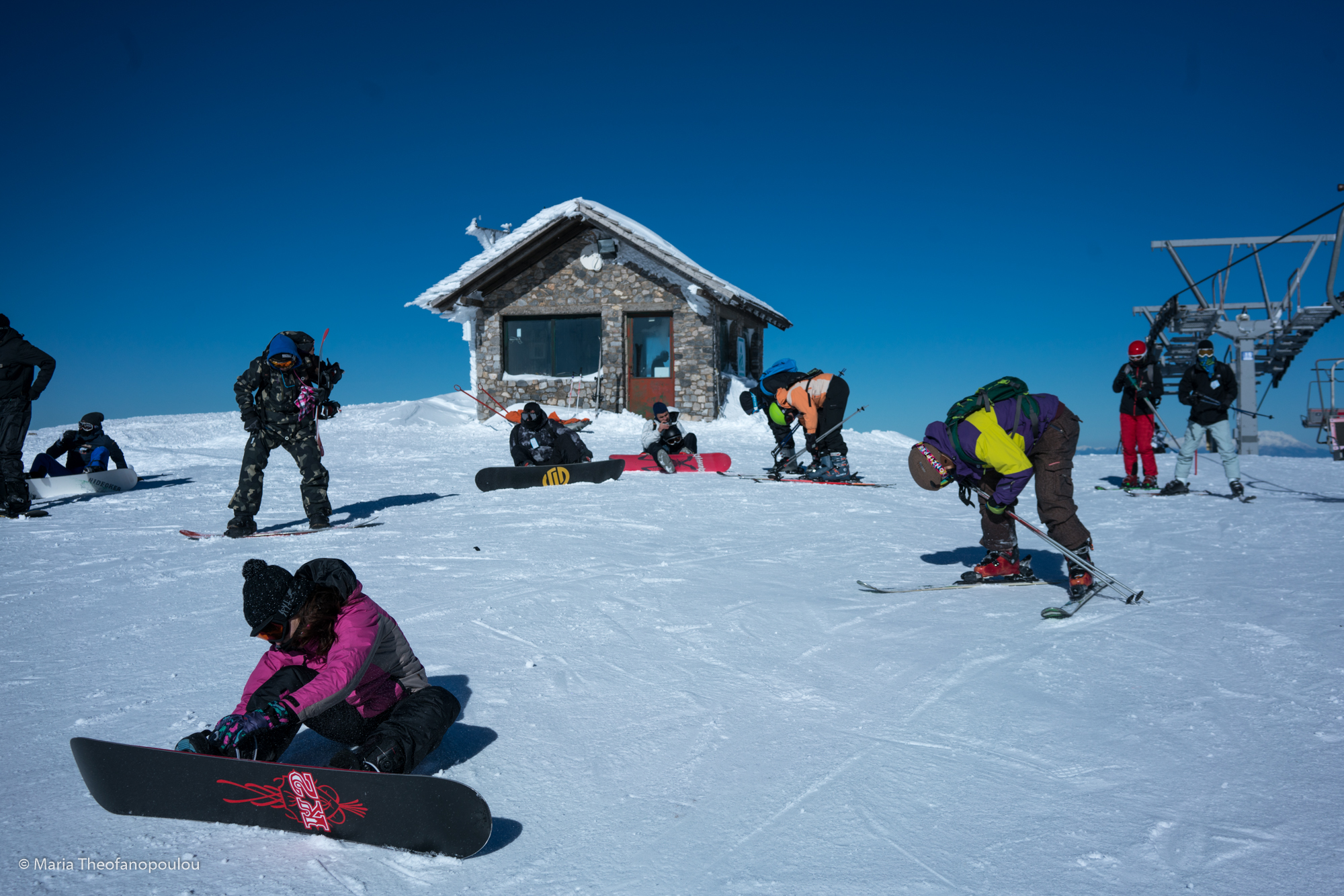
![Main Photo]()
Photo:
© Antony Kitsopoulos
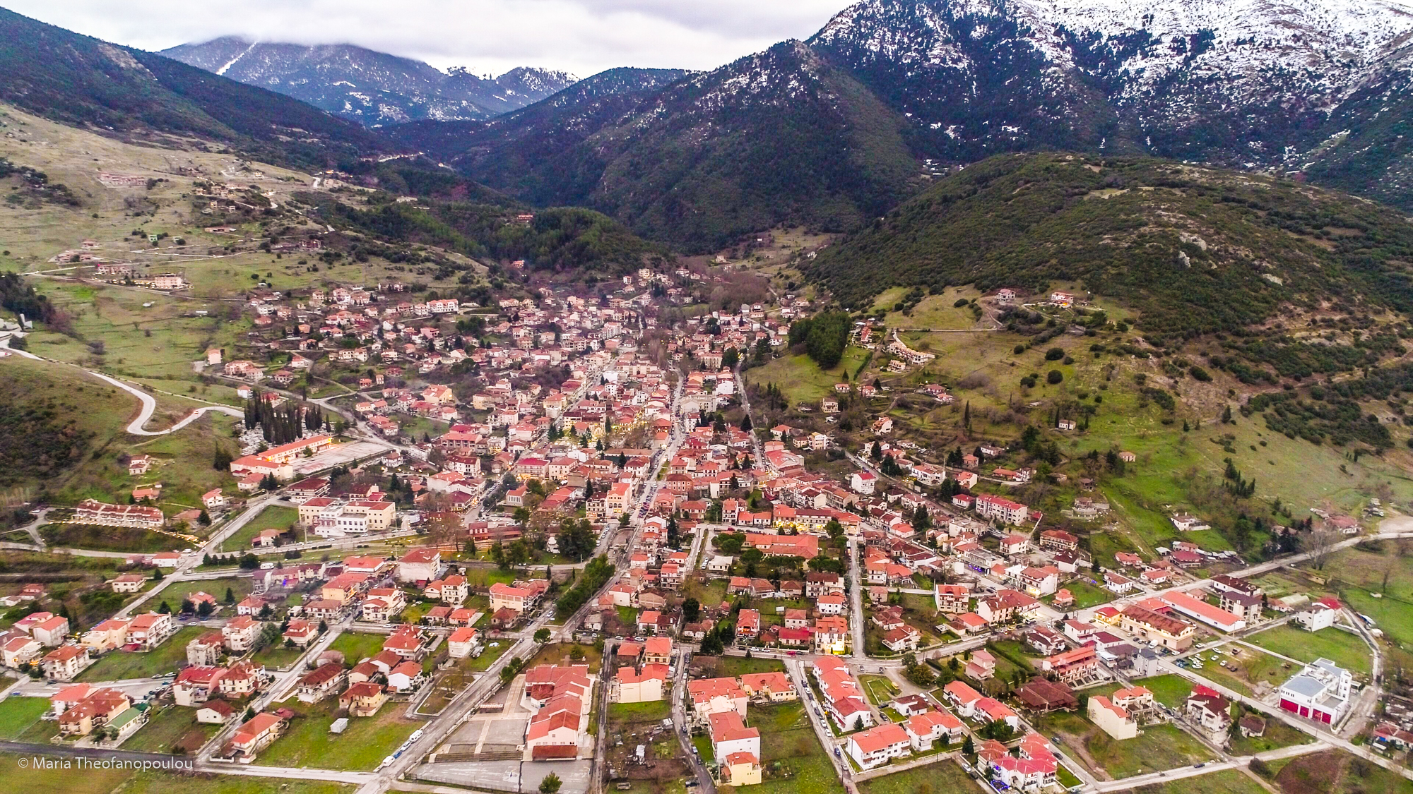
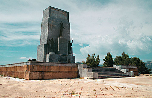
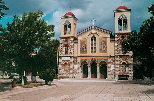
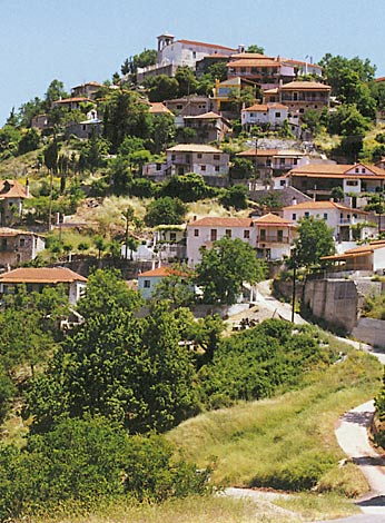
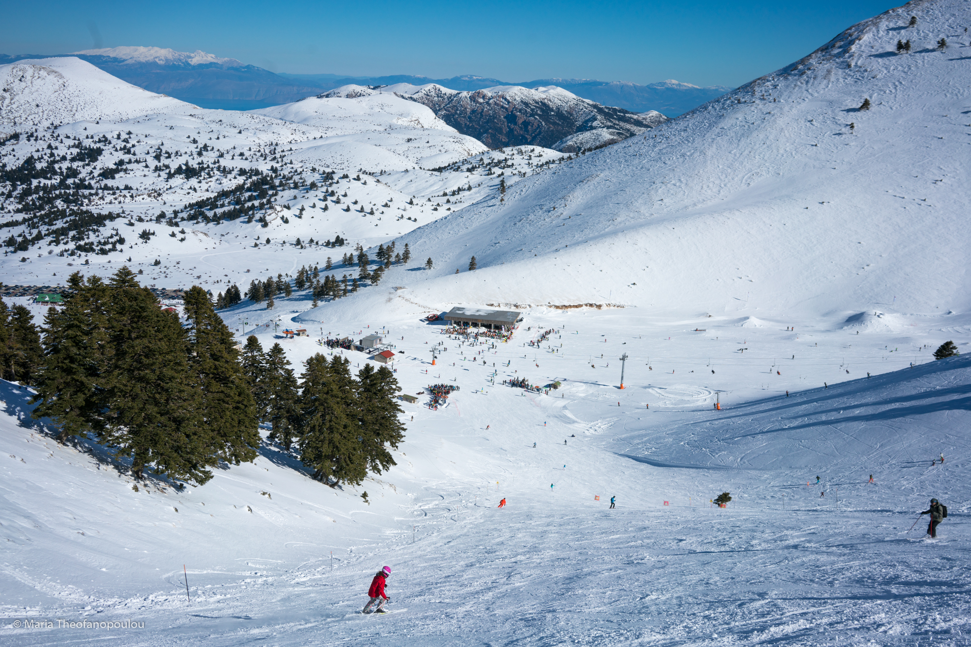
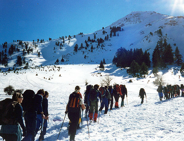
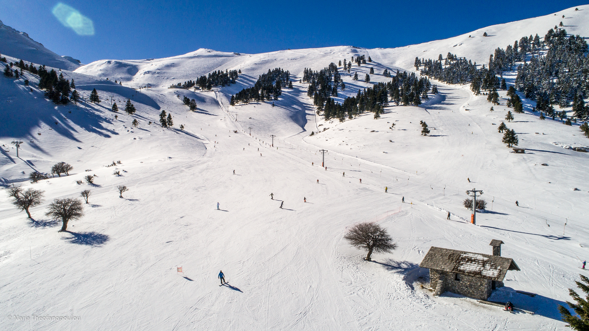
Photo gallery
Displaying 10 out of 51 total photos found for ACHAIA.
Map & Distances
Borders:
Northeast (NE)
DIAKOPTO
Municipality,
EGIALIA
,
GREECE
North (N)
EGHIO
Municipality,
ACHAIA
,
GREECE
East (E)
AKRATA
Municipality,
EGIALIA
,
GREECE
Southwest (SW)
AROANIA
Municipality,
ACHAIA
,
GREECE
South (S)
LEFKASSI
Municipality,
KALAVRYTA
,
GREECE
Northwest (NW)
LEONTIO
Community,
PATRA
,
GREECE
West (W) with:
FARES
Municipality,
PATRA
,
GREECE
West (W)
TRITEA
Municipality,
PATRA
,
GREECE
Ancient sites within the Municipality:
| Longitude: |
22o 02' 49.7" E |
| Latitude: |
38o 02' 02.59" N |
| Area: |
531,8 km2 |
Hotels, local businesses, destinations & directions

59
Related Destinations
View

53
Hotels & Accommodation
View

84
Businesses & organizations
View all

Domestic sea schedules
Local information
Residents
| Year |
Population |
| 1991 |
8346 |
References & Citations
Choose one from the list below or click here to see them all (4)

If you want to find additional information on the greater and/or surrounding areas select one of the titles below and click "more"