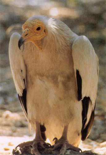
Photo gallery
Displaying 10 out of 46 total photos found for THESSALIA.
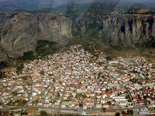
Map & Distances
Its capital is:
Borders:
Ancient sites within the Prefecture:
FARKADON
Ancient city,
TRIKALA
,
GREECE
ALALKOMENES
Ancient city,
KALAMBAKA
,
GREECE
PELINNA
Ancient city,
THESSALIA
,
GREECE
GOMFI
Ancient city,
TRIKALA
,
GREECE
TRIKKI
Ancient city,
THESSALIA
,
GREECE
ICHALIA
Ancient city,
TRIKALA
,
GREECE
| Longitude: |
21o 35' 59.59" E |
| Latitude: |
39o 38' 31.37" N |
| Area: |
3383 km2 |
Hotels, local businesses, destinations & directions

289
Related Destinations
View

113
Hotels & Accommodation
View

400
Businesses & organizations
View all

Domestic sea schedules
Local information
Residents
| Year |
Population |
| 2001 |
139548 |
| 1991 |
138946 |
| 1981 |
134207 |
References & Citations
Choose one from the list below or click here to see them all (14)

If you want to find additional information on the greater and/or surrounding areas select one of the titles below and click "more"