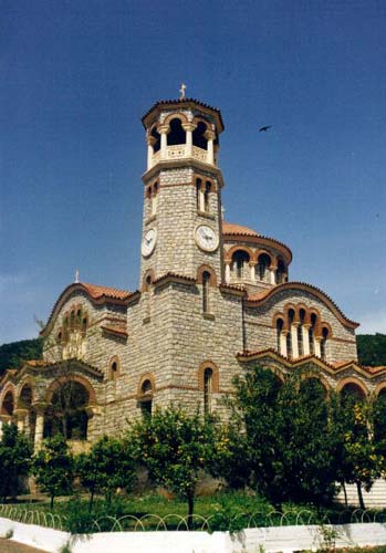
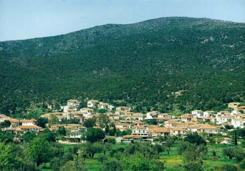
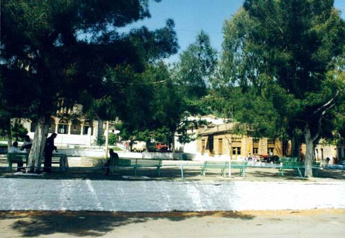
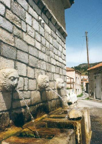
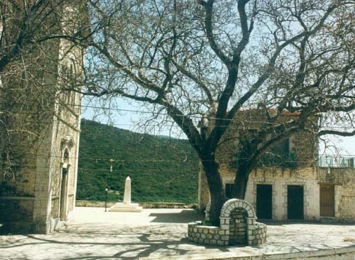
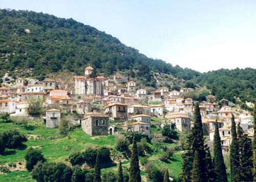
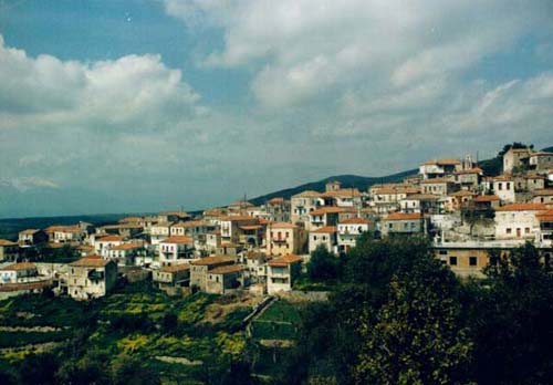
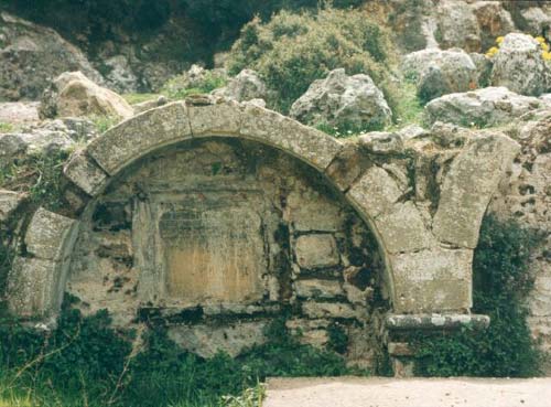
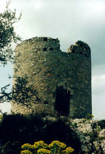
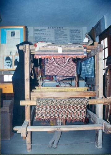
Photo gallery
Displaying 10 out of 31 total photos found for LACONIA.
Map & Distances
The town hall located in:
Borders:
East (E) with:
GERONTHRI
Municipality,
LACONIA
,
GREECE
West (W) with:
SPARTI
Municipality,
LACONIA
,
GREECE
South (S) with:
SKALA
Municipality,
LACONIA
,
GREECE
East (E) with:
LEONIDION
Municipality,
ARCADIA
,
GREECE
North (N) with:
INOUDAS
Municipality,
LACONIA
,
GREECE
South (S) with:
KROKEES
Municipality,
LACONIA
,
GREECE
Southwest (SW) with:
FARIDA
Municipality,
LACONIA
,
GREECE
Ancient sites within the Municipality:
| Longitude: |
22o 33' 43.35" E |
| Latitude: |
37o 04' 30.08" N |
Hotels, local businesses, destinations & directions

13
Related Destinations
View

1
Hotels & Accommodation
View

15
Businesses & organizations
View all

Domestic sea schedules
Local information
| Type of location: |
Ancient name |
Residents
| Year |
Population |
| 1991 |
2999 |
References & Citations
Choose one from the list below or click here to see them all (6)

If you want to find additional information on the greater and/or surrounding areas select one of the titles below and click "more"