Nimborio,as it was more commonly referred to on maps, is one of the
small coastal settlements of Styra, located on the borders of the Municipalities
of Styra and Marmara.
Its name comes from the amalgamation of the worlds "neo" and "emborio". During
the Byzantine period, emborio referred to the "skala", the port where the transportation
of produce took place. The coast of Nimborio is magically enchanting.
This text is cited May 2003 from the Municipality
of Styra tourist pamphlet.
Map & Distances
Distances:
36.0 Kilometers East-southeast (ESE) the provincial capital KARYSTOS
Town, EVIA
,
GREECE
100.0 Kilometers Northwest (NW) the prefectural capital CHALKIDA
Town, EVIA
,
GREECE
Altitude:
10 meters
Longitude:
24o 12' 54.68" E
Latitude:
38o 07' 22.61" N
Hotels, local businesses, destinations & directions
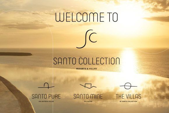
Santorini’s ‘Santo Collection’ Welcomes New Luxury Hotel & Villas, Offers Over 30 Experiences to Guests
The Santo Collection Resorts & Villas welcomes two new members - Santo Mine and The Villas - and is ready to offer guests a combination of more than 30 unique experiences and top-notch services....