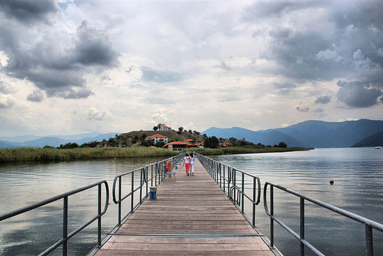
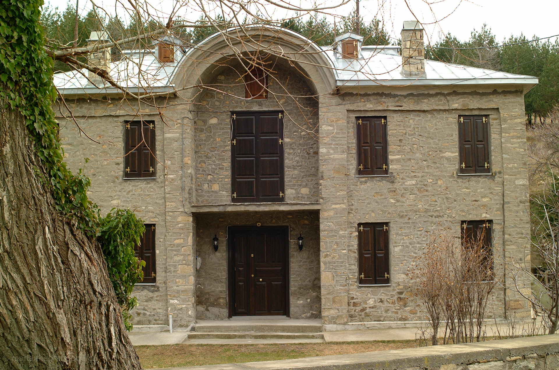
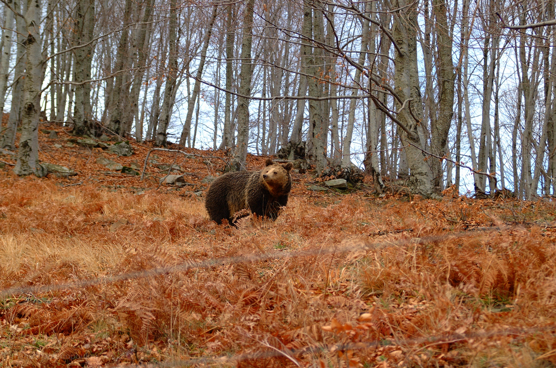
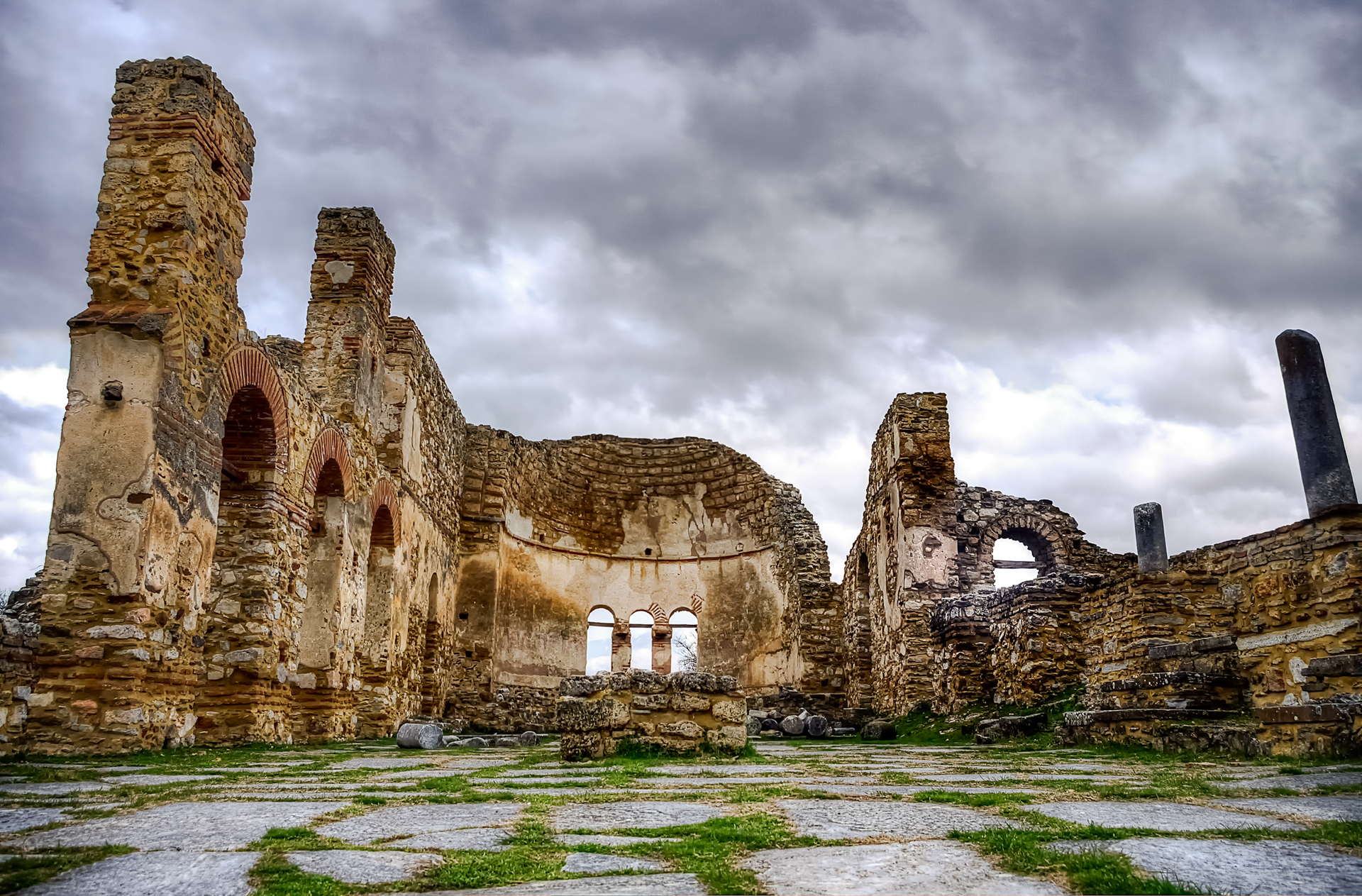
Photo gallery
Displaying 10 out of 57 total photos found for FLORINA.
Map & Distances
Its capital is:
Borders:
Ancient sites within the Prefecture:
| Longitude: |
21o 26' 03.54" E |
| Latitude: |
40o 45' 04.65" N |
Hotels, local businesses, destinations & directions

138
Related Destinations
View

66
Hotels & Accommodation
View

264
Businesses & organizations
View all

Domestic sea schedules
Local information
| Type of location: |
Province |
Residents
| Year |
Population |
| 1991 |
53147 |
References & Citations
Choose one from the list below or click here to see them all (7)

If you want to find additional information on the greater and/or surrounding areas select one of the titles below and click "more"