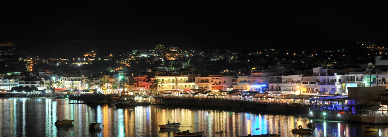
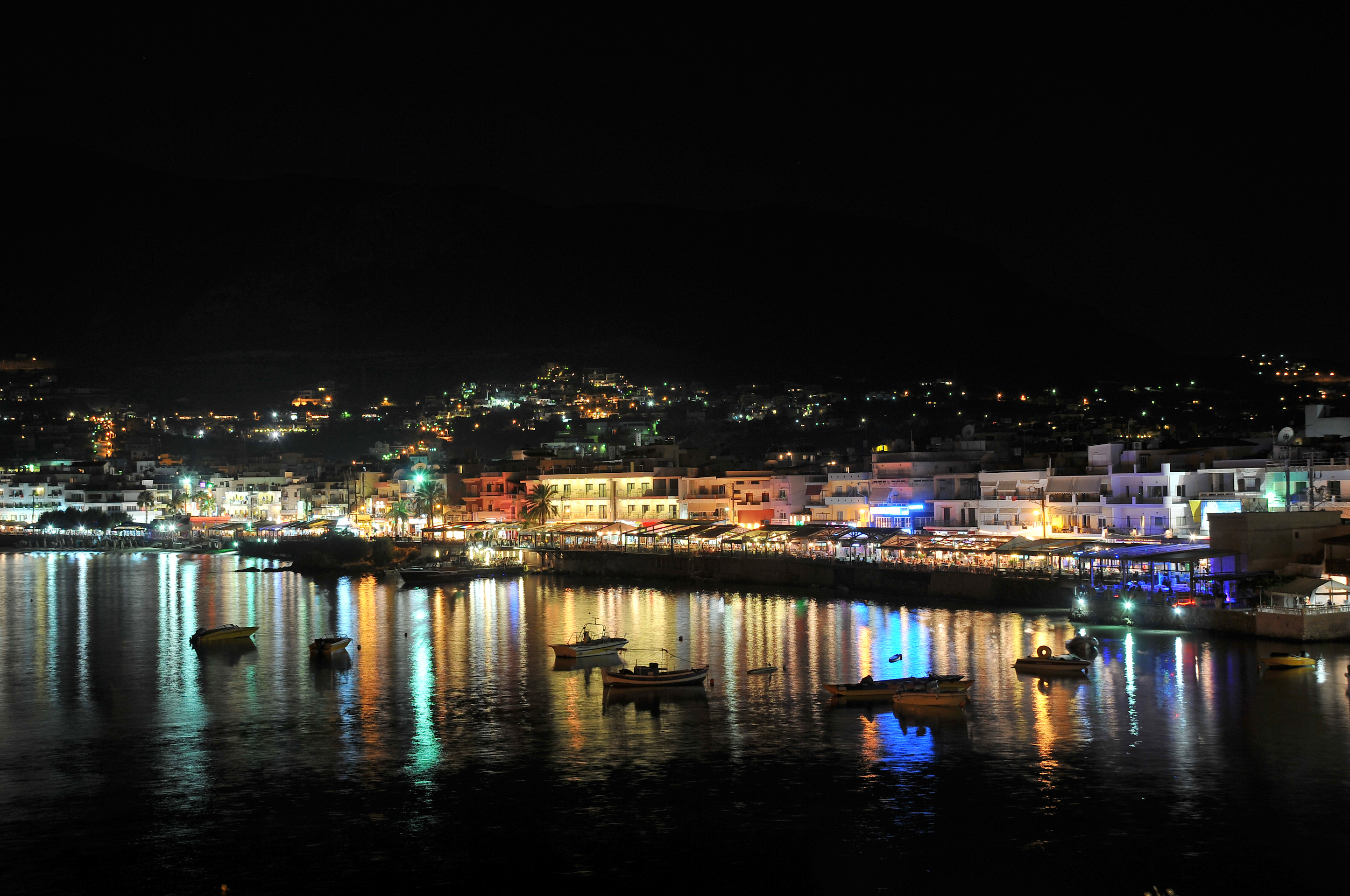
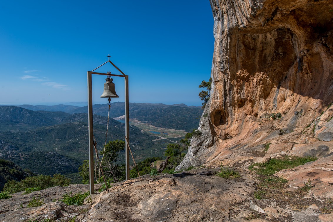
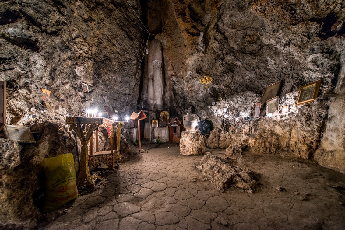
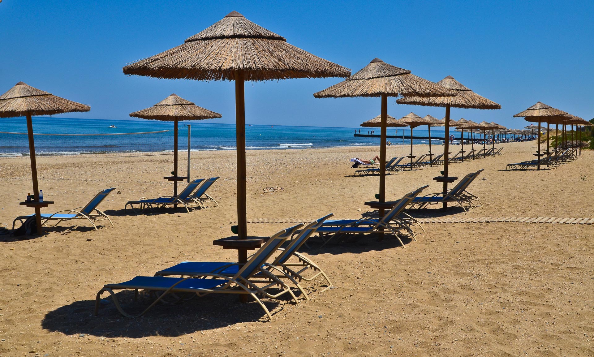
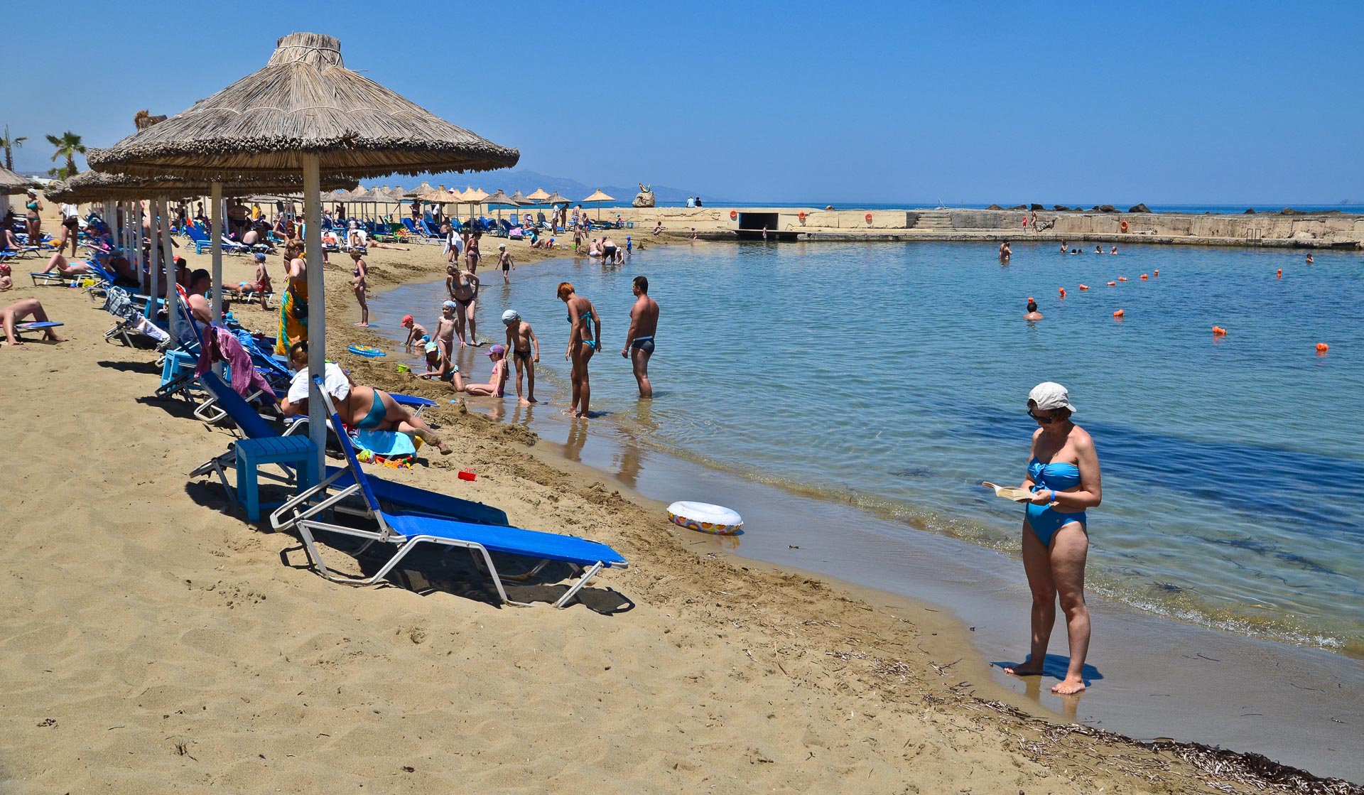
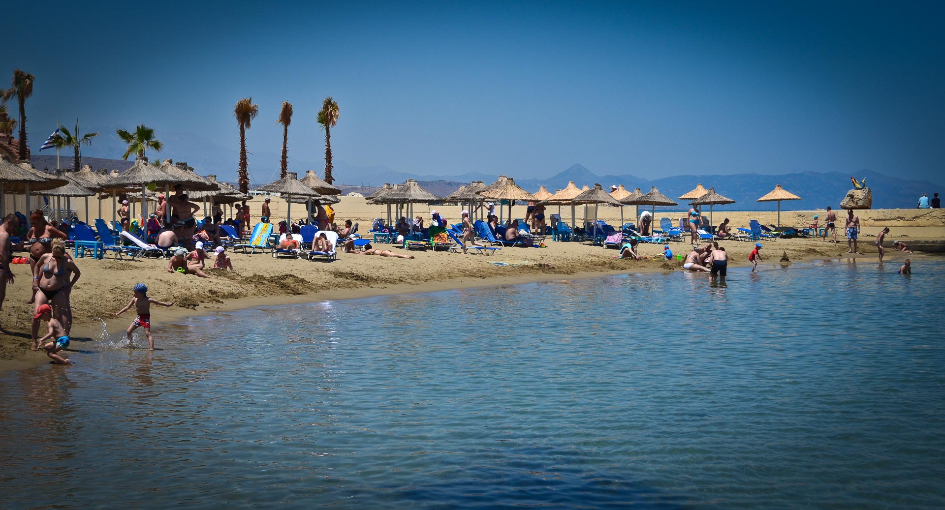
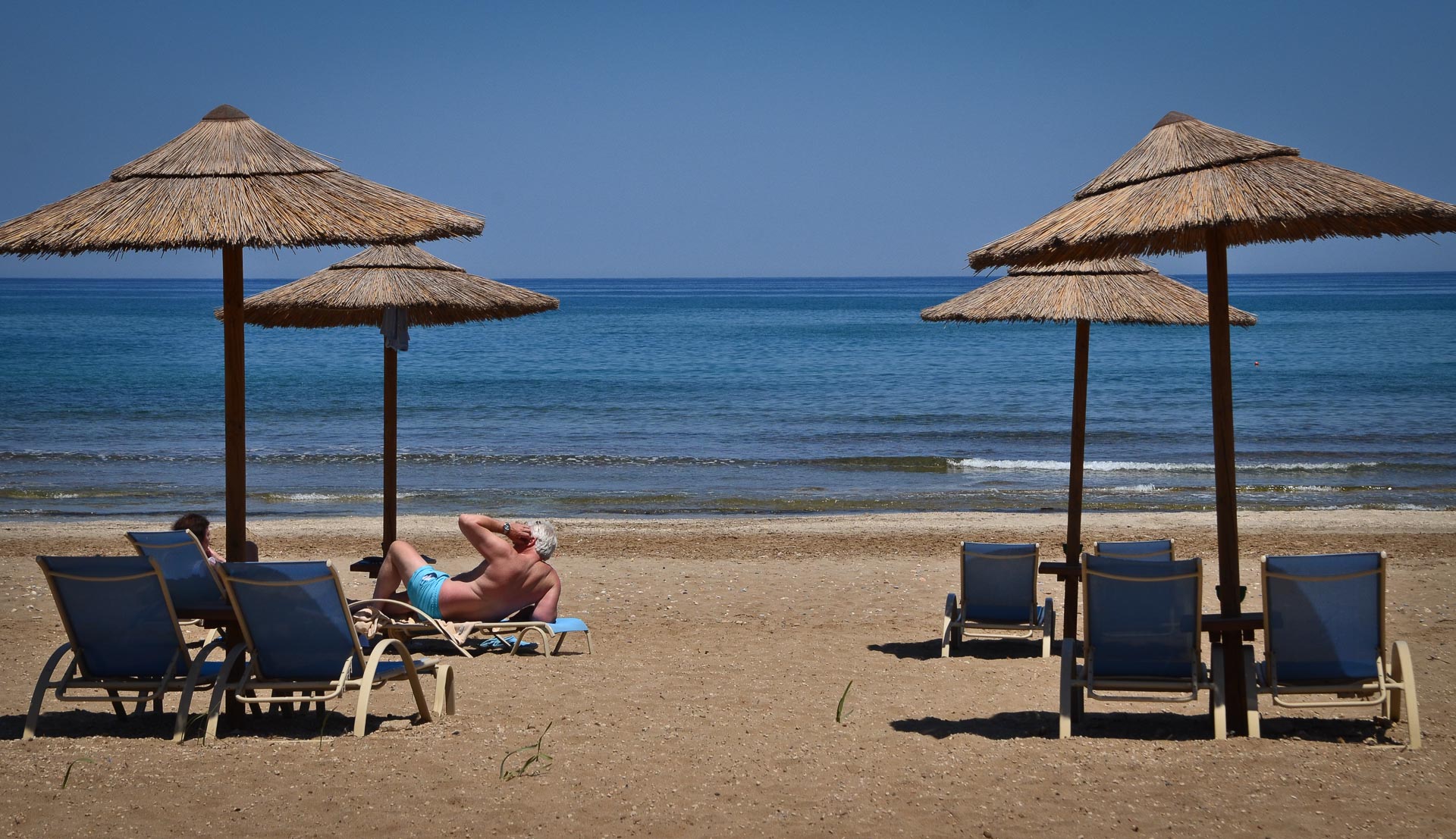
Photo gallery
Displaying 10 out of 177 total photos found for CHERSONISSOS.
Map & Distances
Borders:
Is washed (by):
Ancient sites within the Municipality:
| Longitude: |
25o 23' 46.26" E |
| Latitude: |
35o 16' 07.96" N |
Hotels, local businesses, destinations & directions

24
Related Destinations
View

246
Hotels & Accommodation
View

322
Businesses & organizations
View all

Domestic sea schedules
Local information
| Type of location: |
Blue Flag 2002, Ancient name |
Residents
| Year |
Population |
| 1991 |
7404 |
References & Citations
Choose one from the list below or click here to see them all (2)

If you want to find additional information on the greater and/or surrounding areas select one of the titles below and click "more"