Online ferry tickets
  http://www.gtp.gr
September 4, 2010 Language selection
Map Search | Hierarchical Search | Special Search

Destinations Guide

You are here GREECE KYKLADES FOLEGANDROS

FOLEGANDROS, Island, KYKLADES

URL for linking to this page: http://www.gtp.gr/Folegandros

Geographical Data

Type of location: Dormant volcano, Wetland
Postal Code: 84011
Tel +30 22860
Altitude: 455 meters
Longitude: 24o 54' 07.01" N
Latitude: 36o 37' 48.29" N
Area: 32 km2
 

View map

Map

Population Census

Year Population
1991 558

Geographical Boundaries

  FOLEGANDROS (Island) belongs to FOLEGANDROS (Community)
FOLEGANDROS (Community) belongs to THIRA (Province)
THIRA (Province) belongs to KYKLADES (Island complex)
KYKLADES (Island complex) belongs to SOUTH AEGEAN (Region)
SOUTH AEGEAN (Region) belongs to GREECE (Country)
  Folegandros lies between Milos (15 nautical miles) and Sikinos (five nautical miles). It is 102 nautical miles from Piraeus, 
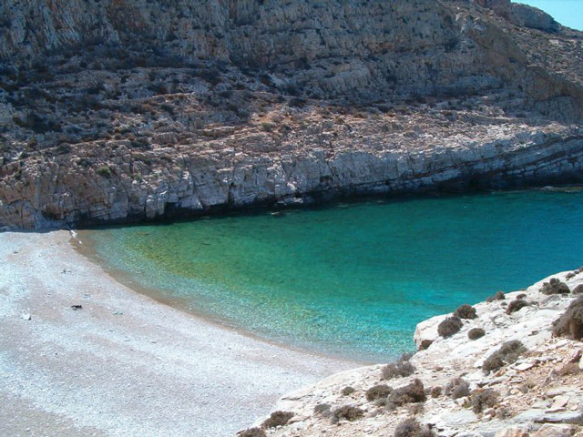
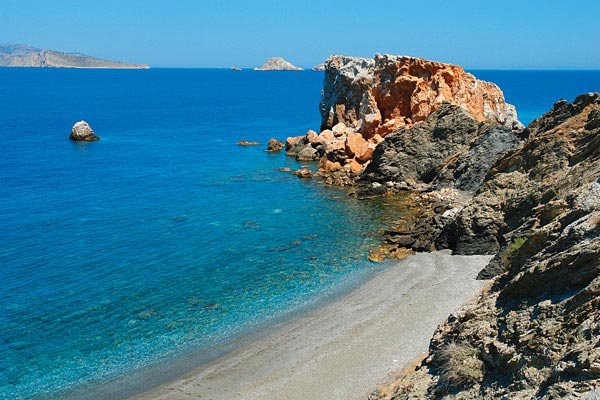
has an area of 32 sq. kilometres and a coastline 40 km long. Its population is about 600. A mountainous, rocky island, its highest mountain is Ayios Eleftherios (455 metres) in the south of the island, whilst the mountain of Merovigli in the north is 312 metres high.
  The historian Aratos called the island Sidira ('iron') because of its rocky surface. Greek mythology says that the island was inhabited by shepherds who came from western Greece in search of pasturelands. Because most of the shepherds were men, the island was named Polyandros ('many men'). From this derives the sailors' habit of calling the island Polykandro.
  It was later settled by Cretans led by Folegandros, son of Minos, who gave his name to the island. The next to arrive were Dorians, the last of the island's colonists before it came under Athenian domination in the fifth century B.C. Artemis and Apollo were worshipped on the island in ancient Greek times. During the Roman period the island was used as a place of exile.
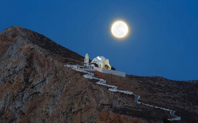
  Under Venetian rule the islanders built a castle around the main village, on the side facing the sea, so as to protect themselves from corsairs. During the period of Prankish rule the island belonged to the duchy of Naxos. In 1617 the island was captured by the Turks, ending Prankish control of the Cyclades. Under Turkish rule Folegandros paid a tribute and in 1715 it suffered great pillaging by Kapudan Pasha. After a short period of Russian control (1770-1774), the Revolution of 1821 liberated the island from Ufa Turks and united it with Greece.
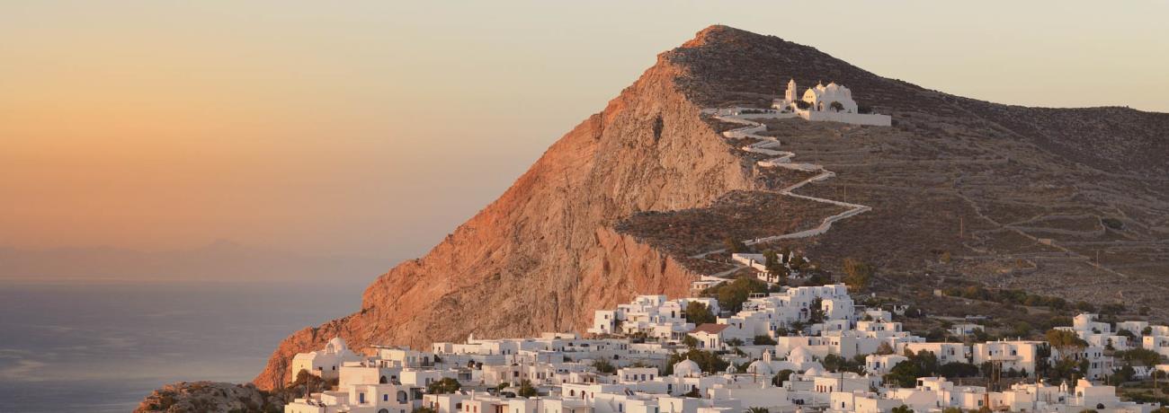
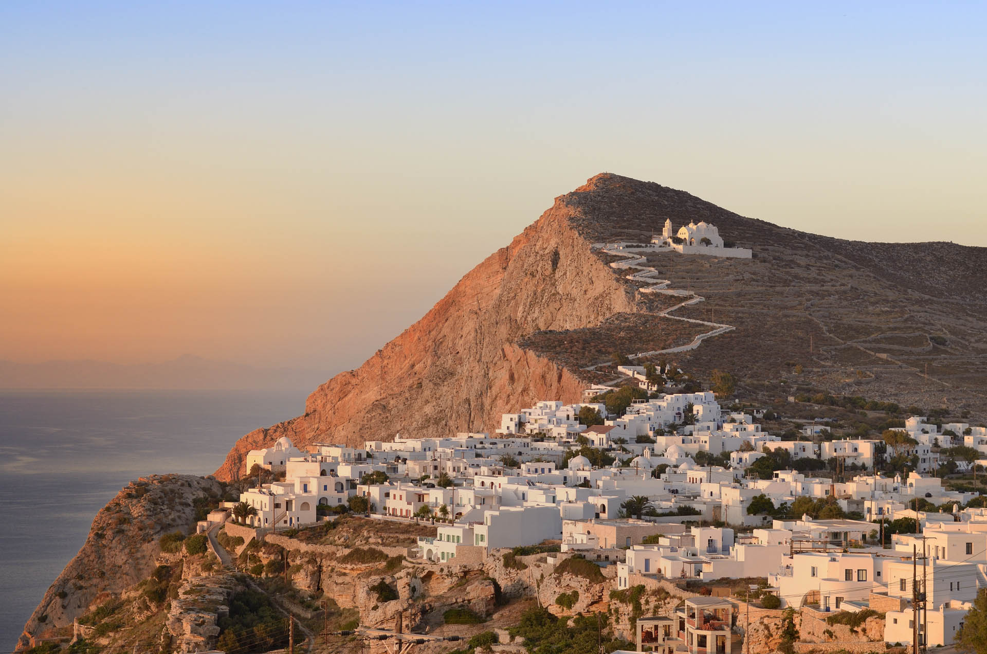
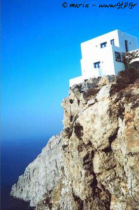
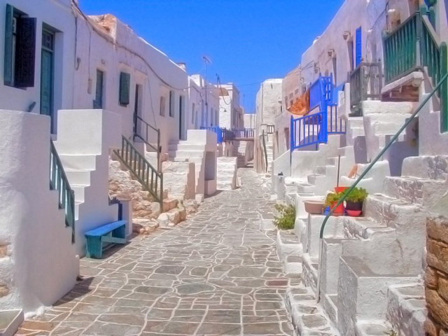
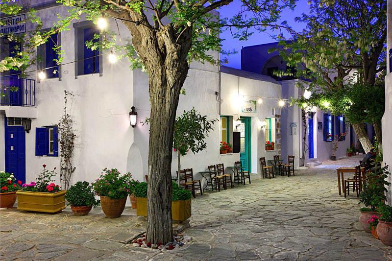
  The largest village on Folegandros is Hora. It is built on the edge of a great rock, 200 metres above sea level. In Hora there is also an imposing stronghold consisting of houses, which begins in the middle of the village and ends at the edge of the precipice above the sea.
This text is cited Apr 2003 from the Development Association 21th Geographical Unit URL below, which contains images.
http://www.south-kyklades.gr/eng/folegandros.asp English Greek
Development Association 21th Geographical Unit WebPages
Located: 
  Northwest (NW) of: SANTORINI, Island, KYKLADES, GREECE
Search the above location for: 
  Travel and travel-related companies and organizations:
  52 companies/organizations found
  Accommodation:
  39 hotels found
  Areas and places of interest within the above area:
  8 areas and places of interest found
  Domestic sea schedules:
  Domestic sea schedules for the above location  
   Information of the location:
If you want to see them individually choose one from the list below or click here to see them all (12) members only
     Associative equation (1)
     Mythology (1)
     Information about the place (5)
     Sights (2)
     Photo Album (1)
     Beaches (1)
  Total area information:
  32 information found
Photo Album 
A view of the Aegean sea
Folegandros, the island's hinterland
Sunset
The island of Folegandros
Results:  4 from 7 More photos...


Destinations
Travel Directory
Accommodation
Beginning with
Greek Travel Pages
Media Kit
Destinations |  Accommodation | Companies |  Ferry Schedules | Home