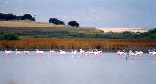
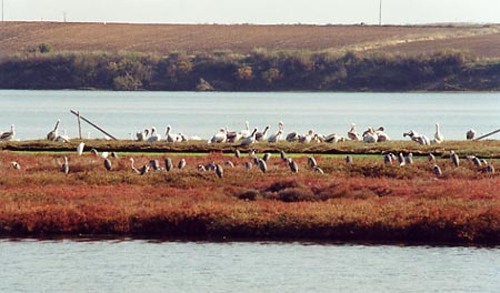
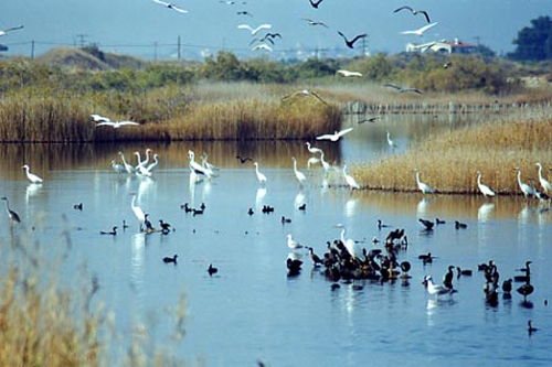
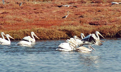
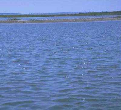
Photo gallery
Displaying 10 out of 14 total photos found for XANTHI.
Map & Distances
Belongs to the munipal district of:
Located:
Distances:
| Altitude: |
2 meters |
| Longitude: |
25o 07' 08.75" E |
| Latitude: |
41o 00' 22.65" N |
Hotels, local businesses, destinations & directions

2
Related Destinations
View

4
Hotels & Accommodation
View

11
Businesses & organizations
View all

Domestic sea schedules
Local information
| Type of location: |
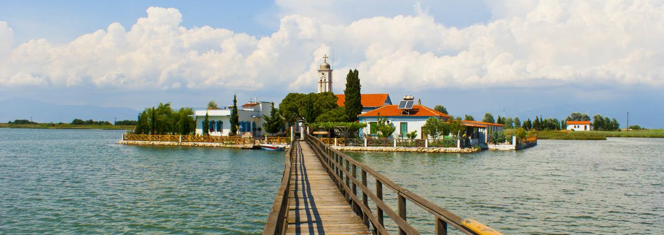
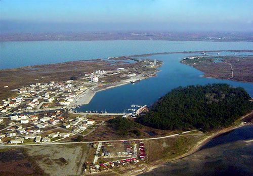
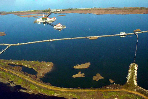
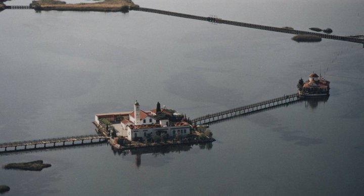
Beach, Natural harbour, Beaches under Ministry of Environment Inspection, Port of entrance, Settlement, Monastery, Wetland, Bay, Byzantine settlement |
| Other Names: |
KARA AGATS (Previous), PORTO LAGO (Known as:), PORI (Byzantine period) |
| Postal Code: |
67063 |
Residents
References & Citations
Choose one from the list below or click here to see them all (9)

If you want to find additional information on the greater and/or surrounding areas select one of the titles below and click "more"